Al-Mujaymer
Al-Mujaymer
المجيمر | |
|---|---|
Village | |
 Al-Mujaymer | |
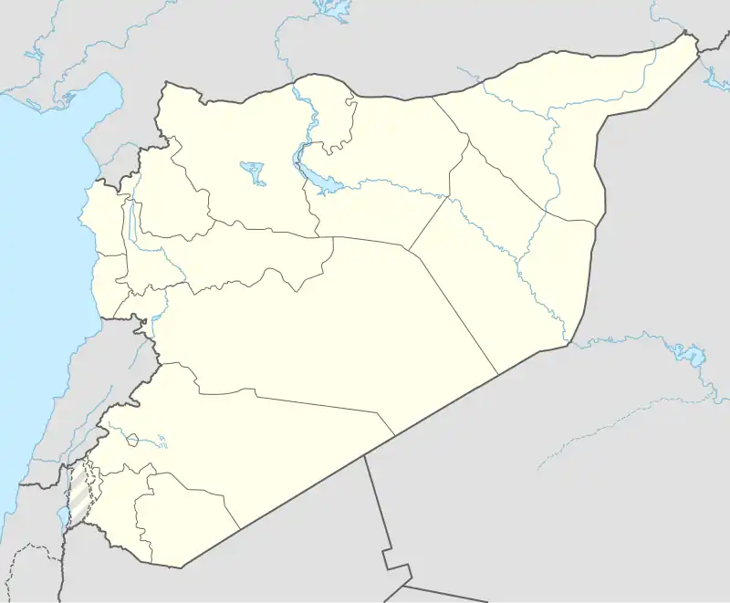
| Coordinates: 32°35′42″N 36°32′02″E / 32.59500°N 36.53389°E | |
| Grid position | 294/223 |
| Country | |
| Governorate | Suwayda |
| District | Suwayda |
| Subdistrict | Suwayda |
| Population (2004 census) | |
• Total | 2,746 |
| Time zone | UTC+2 (EET) |
| • Summer (DST) | UTC+3 (EEST) |
Al-Mujaymer (Arabic: المجيمر) is a village in southern Syria, administratively part of the Suwayda District of the Suwayda Governorate. According to the Syria Central Bureau of Statistics (CBS), Al-Mujaymer had a population of 2,746 in the 2004 census.[1] Its inhabitants are predominantly Druze.
History
In 1596 the village appeared in the Ottoman tax registers named Major, part of the nahiya (Subdistrict) of Bani Nasiyya in the Hauran Sanjak. It had a population consisting of 6 households and 5 bachelors, all Muslim. They paid a fixed tax-rate of 25% on agricultural products, including wheat (1200 a.), barley (450 a.), summer crops (200 a.), goats and beehives (100 a.), in addition to "occasional revenues" (150 a.); a total of 2,000 akçe.[2]
Religious buildings
- Maqam al-Mahdi (Druze Shrine)
See also
References
- ^ "General Census of Population 2004". Archived from the original on 2015-12-08. Retrieved 2014-07-10.
- ^ Hütteroth and Abdulfattah, 1977, p. 219
Bibliography
- Hütteroth, W.-D.; Abdulfattah, K. (1977). Historical Geography of Palestine, Transjordan and Southern Syria in the Late 16th Century. Erlanger Geographische Arbeiten, Sonderband 5. Erlangen, Germany: Vorstand der Fränkischen Geographischen Gesellschaft. ISBN 3-920405-41-2.
| |||||||||||||||
| |||||||||||||||
| |||||||||||||||