Balvbin
Balvbin
Persian: بلوبين | |
|---|---|
Village | |
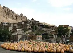 The village of Balvbin | |
 Balvbin | |
| Coordinates: 36°19′41″N 48°12′10″E / 36.32806°N 48.20278°E[1] | |
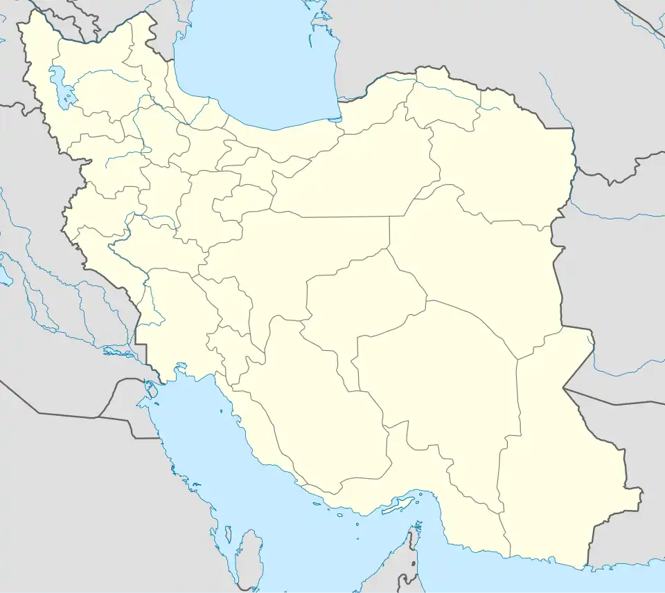
| Country | Iran |
| Province | Zanjan |
| County | Ijrud |
| District | Halab |
| Rural District | Ijrud-e Pain |
| Population (2016)[2] | |
• Total | 9 |
| Time zone | UTC+3:30 (IRST) |
Balvbin (Persian: بلوبين)[a] is a village in Ijrud-e Pain Rural District[4] of Halab District in Ijrud County, Zanjan province, Iran.
Talebi and Jafari are the main families originating in the village. Many of the residents migrated to Tehran choosing bakery as the main profession. It is currently used by old residents as a holiday destination over warmer summer months. Its population is only 3 families over the winter with Torab Dayee being the main resident and contributor keeping the village alive.
Demographics
Population
At the time of the 2006 National Census, the village's population was 66 in 23 households.[5] The following census in 2011 counted 10 people in five households.[6] The 2016 census measured the population of the village as nine people in six households.[2]
See also
Notes
References
- ^ OpenStreetMap contributors (27 April 2025). "بلوبین, دهستان ایجرود پائین, بخش حلب [Balvbin, Ijrud-e Pain Rural District, Halab District], Ijrud County, Zanjan Province, Iran" (Map). OpenStreetMap (in Persian). Retrieved 27 April 2025.
- ^ a b سرشماري عمومي نفوس و مسكن 1395 : استان زنجان [General Population and Housing Census 2016: Zanjan Province]. مرکز آمار ایران [Statistical Centre of Iran] (in Persian). Archived from the original (Excel) on 27 April 2022. Retrieved 19 December 2022.
- ^ Balvbin can be found at GEOnet Names Server, at this link, by opening the Advanced Search box, entering "-3055006" in the "Unique Feature Id" form, and clicking on "Search Database".
- ^ Mousavi, Mir-Hossein (22 April 1987) [تاریخ تصویب (Approval date) 1366/02/02 (Iranian Jalali calendar)]. ایجاد و تشکیل تعداد 22 دهستان شامل روستاها، مزارع و مکانها در شهرستان زنجان مرکز استان زنجان [Creation and formation of 22 rural districts including villages, farms and places in Zanjan County, the capital of Zanjan province]. لام تا کام [Lam ta Kam] (in Persian). وزارت کشور [Ministry of the Interior]. هیات وزیران [Council of Ministers]. شناسه [ID] 60AD9B5C-F611-44C1-BAE0-80DF0055064E. شماره دوره [Course number] 66. Archived from the original on 25 June 2025. Retrieved 25 June 2025.
- ^ سرشماري عمومي نفوس و مسكن 1385 : استان زنجان [General Population and Housing Census 2006: Zanjan Province]. مرکز آمار ایران [Statistical Centre of Iran] (in Persian). Archived from the original (Excel) on 20 September 2011. Retrieved 25 September 2022.
- ^ سرشماري عمومي نفوس و مسكن 1390 : استان زنجان [General Population and Housing Census 2011: Zanjan Province]. Iran Data Portal—Syracuse University (in Persian). مرکز آمار ایران [Statistical Centre of Iran]. Archived from the original (Excel) on 21 January 2023. Retrieved 19 December 2022.
Zanjan province, Iran | ||||||||||||||||
|---|---|---|---|---|---|---|---|---|---|---|---|---|---|---|---|---|
Capital: Zanjan | ||||||||||||||||
| Counties and cities |
|  | ||||||||||||||
| Sights |
| |||||||||||||||
| populated places | ||||||||||||||||