Bayazid Thana
Bayazid Bostami Thana
বায়েজীদ বোস্তামী | |
|---|---|
| Bayejid Bostami Thana | |
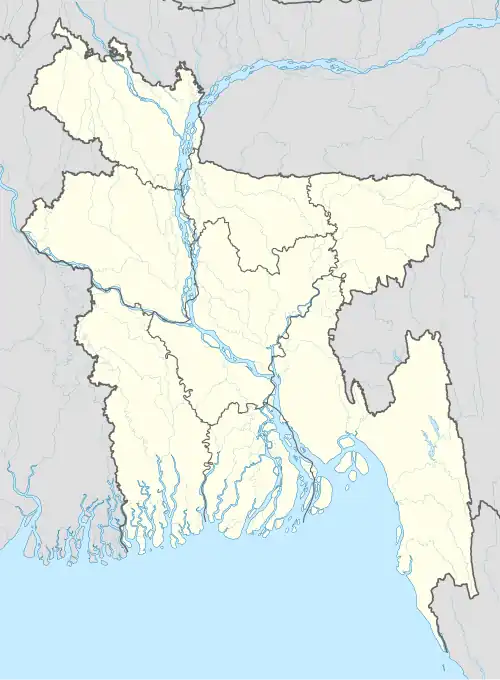 Bayazid Bostami Thana Location in Bangladesh | |
| Coordinates: 22°22′46″N 91°49′13″E / 22.379447°N 91.820292°E | |
| Country | |
| Division | Chittagong Division |
| District | Chittagong District |
| Elevation | 15 m (49 ft) |
| Population | |
• Total | 392,242 |
| Time zone | UTC+6 (BST) |
| Postal code | 4210[3] |
| Area code | 031[4] |
Bayazid Bostami (Bengali: বায়েজীদ বোস্তামী) is a thana of Chattogram District in Chattogram Division, Bangladesh. There are three wards under the Thana.[5]
History
This thana is named after the Persian Sufi Bayazid Bostami one of whose shrine is located under this thana. It was established on 27 May 2000.[5]
Geography
Total area of this thana is 17.58 km2[6] It is located at 22°22′46″N 91°49′13″E / 22.379447°N 91.820292°E.
Demographics
According to the 2011 Census of Bangladesh, population of this thana is 211,355. Density of population is 12,022.5/km2. [6]
See also
- Upazilas of Bangladesh
- Districts of Bangladesh
- Divisions of Bangladesh
- Administrative geography of Bangladesh
References
- ^ "Geographic coordinates of Chattagram Bangladesh". Retrieved October 3, 2024.
- ^ National Report (PDF). Population and Housing Census 2022. Vol. 1. Dhaka: Bangladesh Bureau of Statistics. November 2023. p. 386. ISBN 978-9844752016.
- ^ "Bangladesh Postal Code". Dhaka: Bangladesh Postal Department under the Department of Posts and Telecommunications of the Ministry of Posts, Telecommunications and Information Technology of the People's Republic of Bangladesh. 20 October 2024.
- ^ "Bangladesh Area Code". China: Chahaoba. 18 October 2024.
- ^ a b Sirajul Islam; Miah, Sajahan; Khanam, Mahfuza; Ahmed, Sabbir, eds. (2012). "Bayejid Bostami Thana". Banglapedia: the National Encyclopedia of Bangladesh (Online ed.). Dhaka, Bangladesh: Banglapedia Trust, Asiatic Society of Bangladesh. ISBN 984-32-0576-6. OCLC 52727562. OL 30677644M. Retrieved 17 August 2025.
- ^ a b "Chittagong (Bangladesh): City Districts and Subdistricts - Population Statistics in Maps and Charts". Retrieved 28 September 2015.