Budiš
Budiš | |
|---|---|
 | |
 Flag 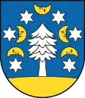 Coat of arms | |
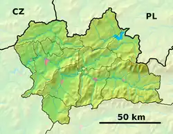 Budiš Location of Budiš in the Žilina Region 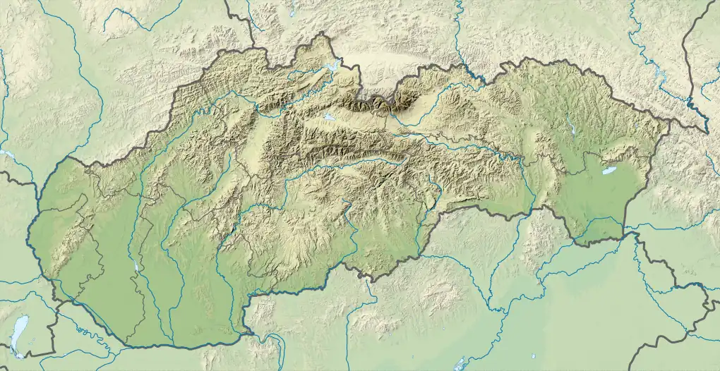 Budiš Location of Budiš in Slovakia | |
| Coordinates: 48°52′N 18°46′E / 48.87°N 18.77°E | |
| Country | |
| Region | |
| District | Turčianske Teplice District |
| First mentioned | 1573 |
| Government | |
| • Mayor | Svetozár Ďurica |
| Area | |
• Total | 10.28 km2 (3.97 sq mi) |
| Elevation | 478 m (1,568 ft) |
| Population (2021)[3] | |
• Total | 196 |
| Time zone | UTC+1 (CET) |
| • Summer (DST) | UTC+2 (CEST) |
| Postal code | 382 3[2] |
| Area code | +421 43[2] |
| Car plate | RK |
| Website | www |
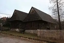
Budiš (Hungarian: Turócborkút) is a village and municipality in Turčianske Teplice District in the Žilina Region of northern central Slovakia.
History
In historical records, the village was first mentioned in 1573. Before the establishment of independent Czechoslovakia in 1918, it was part of Turóc County within the Kingdom of Hungary. From 1939 to 1945, it was part of the Slovak Republic.
Geography
The municipality lies at an altitude of 476 metres and covers an area of 10.275 km². It has a population of about 211 people.
Genealogical resources
The records for genealogical research are available at the state archive "Statny Archiv in Bytca, Slovakia."
- Lutheran church records (births/marriages/deaths): 1784–1896 (parish B)
See also
References
- ^ "Hustota obyvateľstva - obce [om7014rr_ukaz: Rozloha (Štvorcový meter)]". www.statistics.sk (in Slovak). Statistical Office of the Slovak Republic. 2022-03-31. Retrieved 2022-03-31.
- ^ a b c "Základná charakteristika". www.statistics.sk (in Slovak). Statistical Office of the Slovak Republic. 2015-04-17. Retrieved 2022-03-31.
- ^ "Počet obyvateľov podľa pohlavia - obce (ročne)". www.statistics.sk (in Slovak). Statistical Office of the Slovak Republic. 2022-03-31. Retrieved 2022-03-31.