Carlton, Colorado
Carlton, Colorado | |
|---|---|
 Looking southeast in Carlton along U.S. Highway 50 (2024) | |
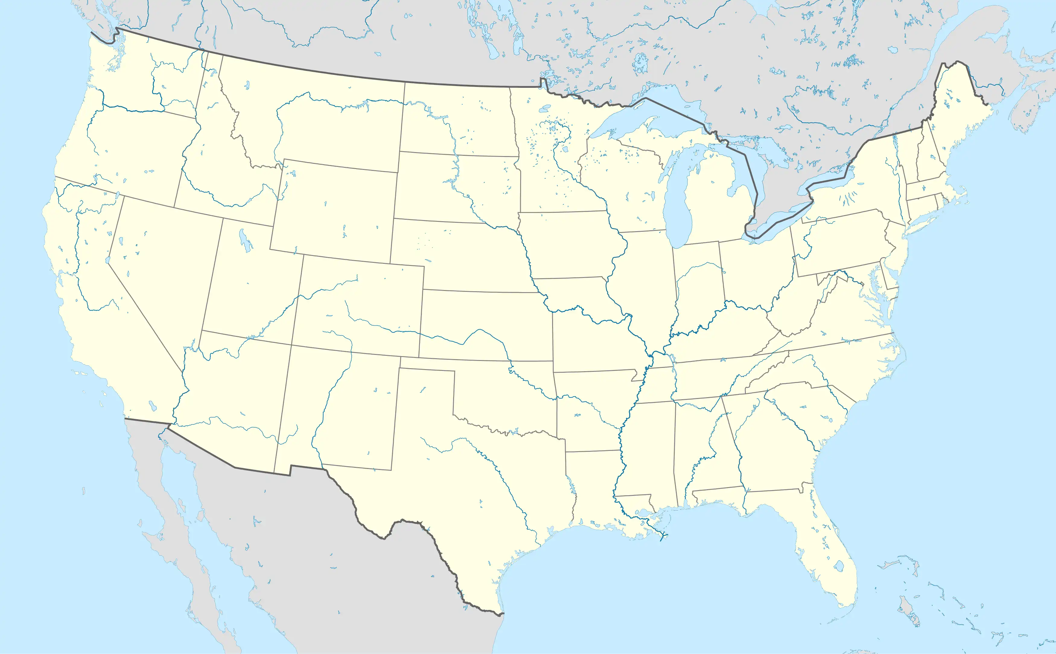 Carlton Location of Carlton, Colorado. 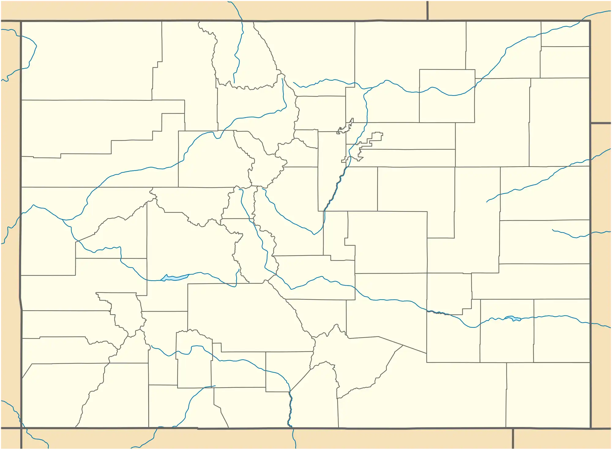 Carlton Carlton (Colorado) | |
| Coordinates: 38°05′05″N 102°25′11″W / 38.0847°N 102.4196352°W[2] | |
| Country | United States |
| State | Colorado |
| County | Prowers[1] |
| Government | |
| • Type | unincorporated community |
| • Body | Prowers County[1] |
| Elevation | 3,537 ft (1,078 m) |
| Time zone | UTC−07:00 (MST) |
| • Summer (DST) | UTC−06:00 (MDT) |
| ZIP code[3] | 81052 (Lamar, Colorado) |
| Area code | 719 |
| GNIS pop ID | 1989091 |
Carlton is an unincorporated community in Prowers County, Colorado, United States.[4] It sits at an elevation of, 3,537 feet (1,078 meters).[5]
History
The Carlton, Colorado, post office operated from January 14, 1891, until March 5, 1960.[6]
See also
References
- ^ a b "Colorado Counties". Colorado Department of Local Affairs. Retrieved May 6, 2025.
- ^ a b "Carlton, Colorado". Geographic Names Information System. United States Geological Survey, United States Department of the Interior. Retrieved May 6, 2025.
- ^ "ZIP Code Lookup". United States Postal Service. Retrieved May 6, 2025.
- ^ U.S. Geological Survey Geographic Names Information System: Carlton, Colorado
- ^ "Carlton (in Prowers County, CO) Populated Place Profile". CO HomeTownLocator. Retrieved 9 February 2018.
- ^ Bauer, William H.; Ozment, James L.; Willard, John H. (1990). Colorado Post Offices 1859–1989. Golden, Colorado: Colorado Railroad Historical Foundation. ISBN 0-918654-42-4.
External links
Municipalities and communities of Prowers County, Colorado, United States | ||
|---|---|---|
| City |  | |
| Towns | ||
| Unincorporated communities | ||
| Former communities | ||