Chacra, Colorado
Chacra, Colorado | |
|---|---|
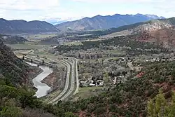 The Colorado River, Interstate 70, and Chacra. | |
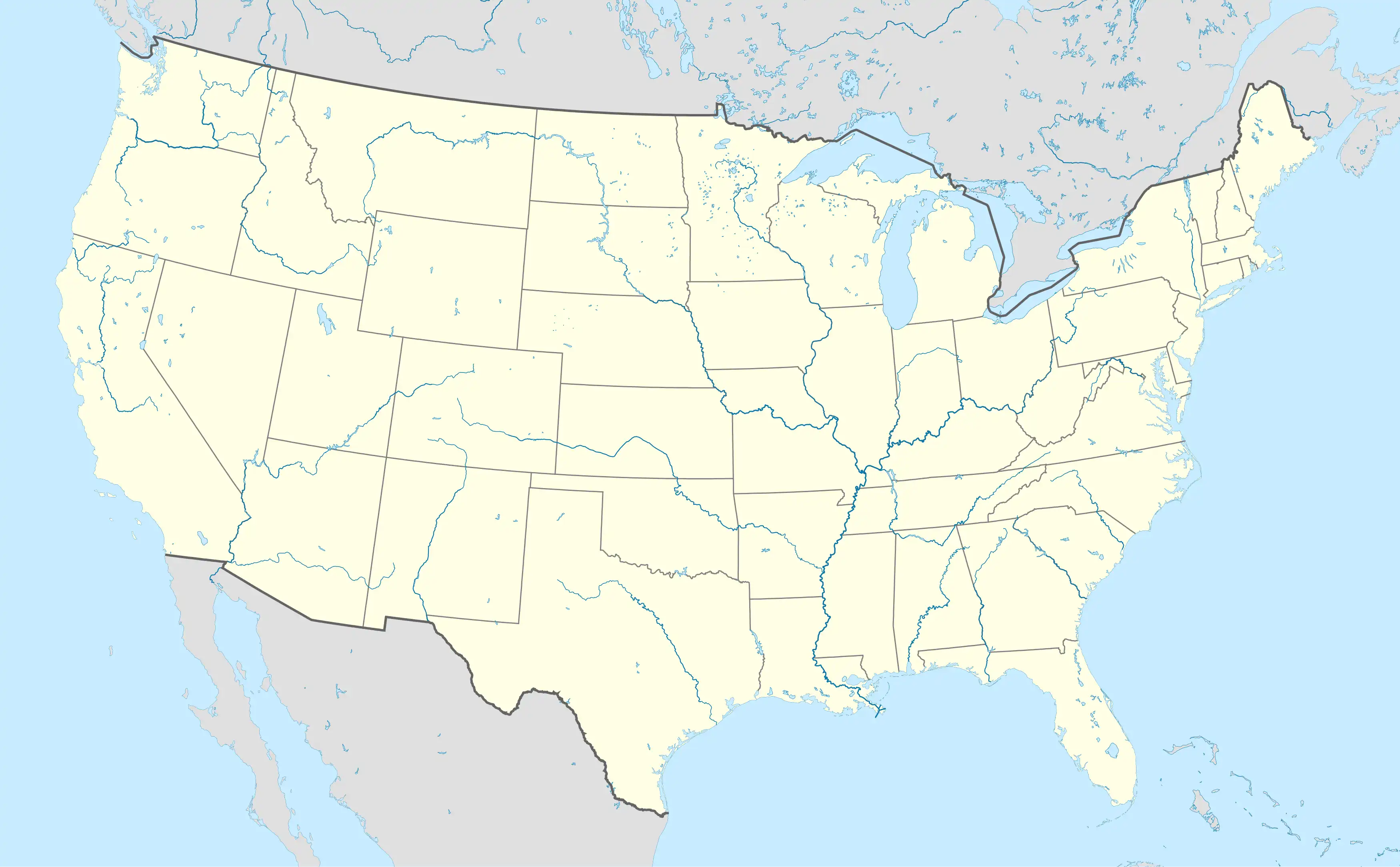
 Location of the Chacra CDP in Garfield County, Colorado. | |
 Chacra Location of Chacra, Colorado. 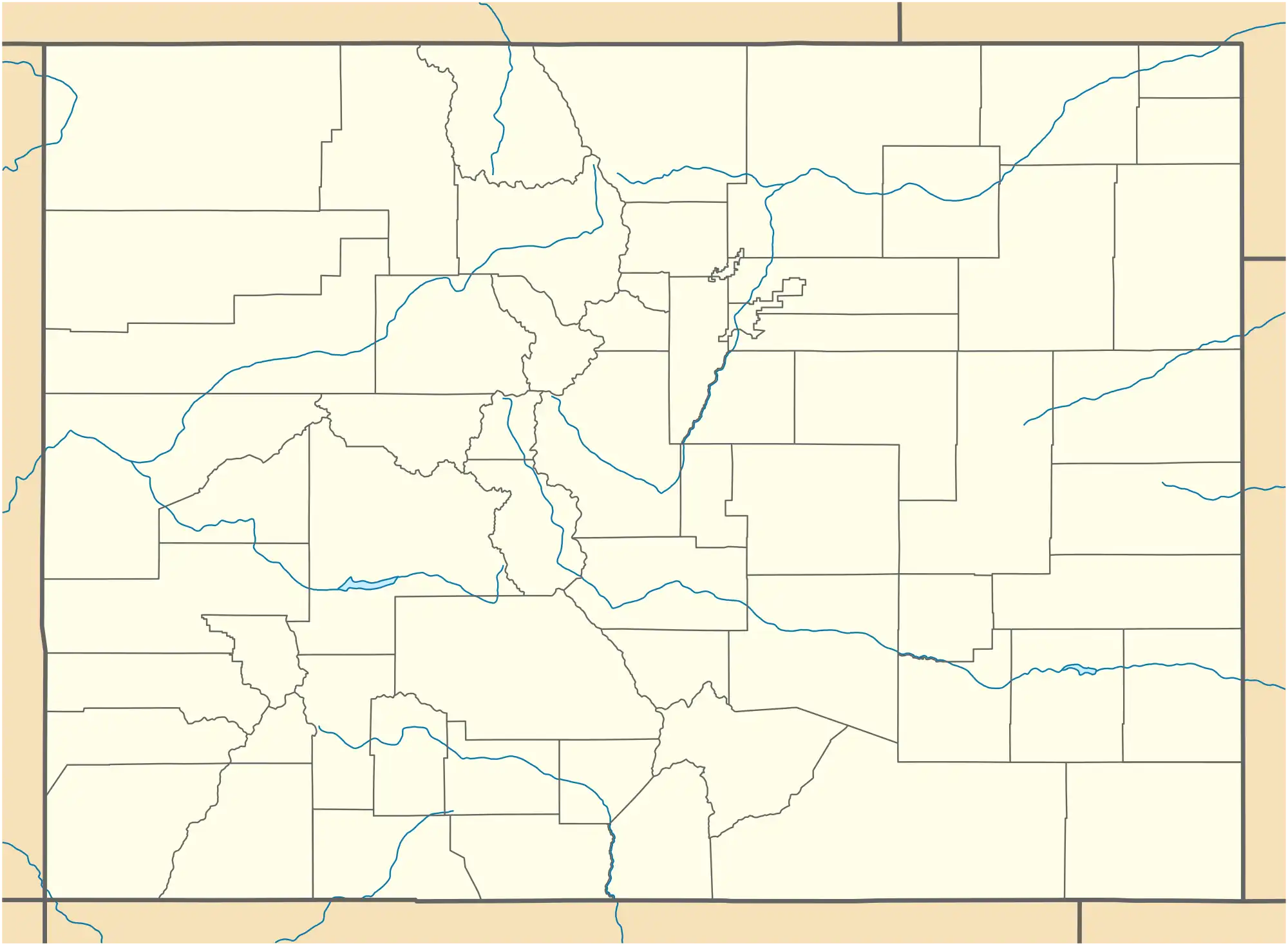 Chacra Chacra (Colorado) | |
| Coordinates: 39°34′31″N 107°26′48″W / 39.5753°N 107.4467°W[2] | |
| Country | United States |
| State | Colorado |
| County | Garfield[1] |
| Government | |
| • Type | unincorporated community |
| • Body | Garfield County[1] |
| Area | |
• Total | 0.984 sq mi (2.549 km2) |
| • Land | 0.946 sq mi (2.450 km2) |
| • Water | 0.038 sq mi (0.099 km2) |
| Elevation | 5,633 ft (1,717 m) |
| Population | |
• Total | 331 |
| • Density | 340/sq mi (130/km2) |
| Time zone | UTC−07:00 (MST) |
| • Summer (DST) | UTC−06:00 (MDT) |
| ZIP code[5] | Glenwood Springs 81601 |
| Area codes | 970/748 |
| GNIS pop ID | 174067 |
| GNIS CDP ID | 2583222 |
| FIPS code | 08-12945 |
Chacra is an unincorporated community and a census-designated place (CDP) located in Garfield County, Colorado, United States. The unincorporated community is a part of the Rifle, CO Micropolitan Statistical Area and the Edwards-Rifle, CO Combined Statistical Area. The population of the Chacra CDP was 331 at the United States Census 2020.[4]
History
Chacra has never had its own post office.[6] The Glenwood Springs, Colorado, post office (ZIP code 81601) serves the area.[5]
Geography
Chacra is located on the north side of Colorado River, 8 miles (13 km) west of Glenwood Springs, the county seat. Interstate 70 passes through the community, with access from Exit 109.
The Chacra CDP has an area of 630 acres (2.549 km2), including 24 acres (0.099 km2) of water.[3]
Demographics
| Year | Pop. | ±% |
|---|---|---|
| 2010 | 329 | — |
| 2020 | 331 | +0.6% |
| Source: United States Census Bureau | ||
The United States Census Bureau initially defined the Chacra CDP for the United States Census 2010.
See also
- Rifle, CO Micropolitan Statistical Area
- Edwards-Rifle, CO Combined Statistical Area
- List of census-designated places in Colorado
- List of populated places in Colorado
References
- ^ a b "Colorado Counties". Colorado Department of Local Affairs. Retrieved June 10, 2025.
- ^ a b "Chacra, Colorado". Geographic Names Information System. United States Geological Survey, United States Department of the Interior. Retrieved June 10, 2025.
- ^ a b "State of Colorado Census Designated Places - BAS20 - Data as of January 1, 2020". United States Census Bureau. Retrieved December 22, 2020.
- ^ a b United States Census Bureau. "Chacra CDP, Colorado". Retrieved April 16, 2023.
- ^ a b "ZIP Code Lookup". United States Postal Service. Retrieved June 10, 2025.
- ^ Bauer, William H.; Ozment, James L.; Willard, John H. (1990). Colorado Post Offices 1859–1989. Golden, Colorado: Colorado Railroad Historical Foundation. ISBN 0-918654-42-4.
External links
Municipalities and communities of Garfield County, Colorado, United States | ||
|---|---|---|
| Cities | 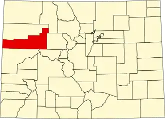 | |
| Towns | ||
| CDPs | ||
| Unincorporated communities | ||
| Ghost town | ||