Chottanikkara
Chottanikkara | |
|---|---|
Town | |
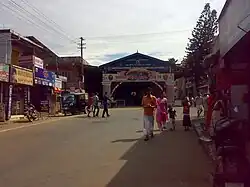 West Nada, Chottanikkara Temple | |
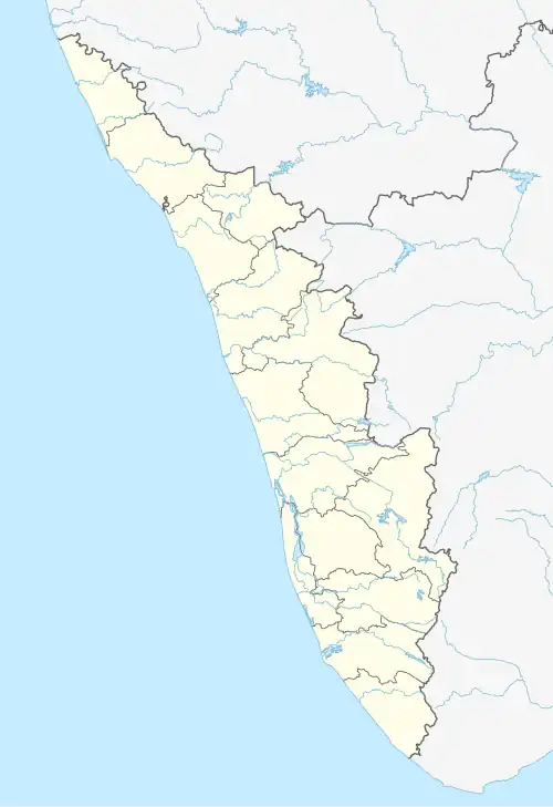 Chottanikkara Location in Kerala, India  Chottanikkara Chottanikkara (India) | |
| Coordinates: 9°55′59″N 76°23′28″E / 9.933°N 76.391°E | |
| Country | |
| State | Kerala |
| District | Ernakulam |
| Government | |
| • Type | Panchayat |
| • Body | Chottanikkara Grama Panchayat |
| Demonym | Chottanikarakaran (Masculine)/ Chottanikarakari (Feminine) |
| Languages | |
| • Official | Malayalam, English |
| Time zone | UTC+5:30 (IST) |
| PIN | 682312 |
| Vehicle registration | KL-39 |
| Nearest city | Kochi |
Chottanikkara is a town and southern suburb of the city of Kochi, Kerala, India. In local administration, it is a panchayat which consists of Chottanikkara, Kanayannur, Eruvely, Kureekkad, Vattukkunnu, Palace Square and Kottayathupara villages. Chottanikkara is also a part of urban agglomeration of City of Kochi.
The famous Chottanikkara temple is situated in town.[1] Kochi city buses are directly connected to Chottanikkara, usually being the last stop. The Chottanikkara Government School stadium is one of the largest stadiums in the Ernakulam District. The Chottanikkara Grama Panchayat was selected as one of the best gram panchayats in the state by the Union Panchayati Raj Ministry.[2]
Location
Chottanikkara is located on the outskirts of Kochi, and is currently a hotspot for residence for people with families or who wish to be living in a suburban area in the city.
| |||||||||||||||||||
References
Wikimedia Commons has media related to Chottanikkara.
- ^ Chottanikkara temple site, archived from the original on 19 July 2017, retrieved 9 May 2014
- ^ "ethavum mikacha jilla panchayath". k vartha. 6 April 2013. Retrieved 12 April 2013.