Churchill Mountain
| Churchill Mountain | |
|---|---|
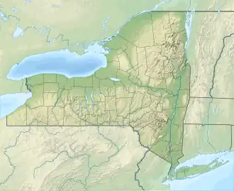 Churchill Mountain Location of Churchill Mountain within New York  Churchill Mountain Churchill Mountain (the United States) | |
| Highest point | |
| Elevation | 3,064 feet (934 m) |
| Coordinates | 42°23′19″N 74°36′36″W / 42.38861°N 74.61000°W[1] |
| Geography | |
| Location | Stamford, New York, U.S. |
| Topo map | USGS Stamford |
Churchill Mountain is a mountain located in the Catskill Mountains of New York east-southeast of Stamford. Utsayantha Mountain is located northeast, Cowan Mountain is located southwest, and McGregor Mountain is located east of Churchill Mountain.
References
- ^ "Churchill Mountain". Geographic Names Information System. United States Geological Survey, United States Department of the Interior. Retrieved April 5, 2018.