Consdorf
Consdorf
Konsdref (Luxembourgish) | |
|---|---|
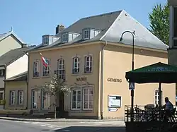 Town hall | |
 Coat of arms | |
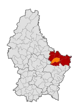 Map of Luxembourg with Consdorf highlighted in orange, and the canton in dark red | |
| Coordinates: 49°46′45″N 6°20′15″E / 49.7792°N 6.3375°E | |
| Country | |
| Canton | Echternach |
| Government | |
| • Mayor | Marco Bermes |
| Area | |
• Total | 25.72 km2 (9.93 sq mi) |
| • Rank | 35th of 100 |
| Highest elevation | 393 m (1,289 ft) |
| • Rank | 56th of 100 |
| Lowest elevation | 219 m (719 ft) |
| • Rank | 35th of 100 |
| Population (2025) | |
• Total | 2,108 |
| • Rank | 82nd of 100 |
| • Density | 82/km2 (210/sq mi) |
| • Rank | 76th of 100 |
| Time zone | UTC+1 (CET) |
| • Summer (DST) | UTC+2 (CEST) |
| LAU 2 | LU0001004 |
| Website | consdorf.lu |
Consdorf (German pronunciation: [ˈkɔnsˌdɔʁf]; Luxembourgish: Konsdref) is a commune and town in eastern Luxembourg. It is part of the canton of Echternach, which is part of the district of Grevenmacher.
As of 2024, the town of Consdorf, which lies in the centre of the commune, has a population of 1,420.[1] Other towns within the commune include Scheidgen, Wolper and Breidweiler.
Population
See or edit source data.
References
- ^ "Registre national des personnes physiques RNPP : Population par localité". data.public.lu. 2024-01-07.
- ^ "Population par canton et commune". statistiques.public.lu. Archived from the original on 2016-09-12. Retrieved 11 January 2022.
External links
Wikivoyage has a travel guide for Consdorf.
- https://www.consdorf.lu
 Media related to Consdorf at Wikimedia Commons
Places adjacent to Consdorf | ||||||||||||||||
|---|---|---|---|---|---|---|---|---|---|---|---|---|---|---|---|---|
| ||||||||||||||||