Djiru, Queensland
| Djiru Queensland | |||||||||||||||
|---|---|---|---|---|---|---|---|---|---|---|---|---|---|---|---|
.jpg) Djiru National Park, 2012 | |||||||||||||||
 Djiru | |||||||||||||||
| Coordinates | 17°51′21″S 146°04′35″E / 17.8558°S 146.0763°E | ||||||||||||||
| Population | 0 (2021 census)[1] | ||||||||||||||
| • Density | 0.000/km2 (0.00/sq mi) | ||||||||||||||
| Postcode(s) | 4852 | ||||||||||||||
| Area | 24.1 km2 (9.3 sq mi) | ||||||||||||||
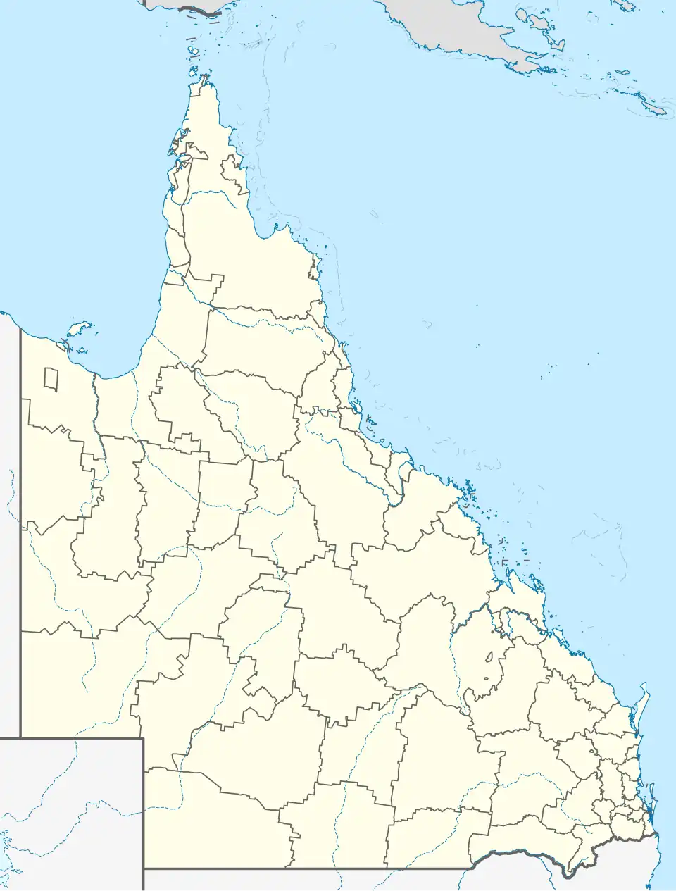
| Location |
| ||||||||||||||
| LGA(s) | Cassowary Coast Region | ||||||||||||||
| State electorate(s) | Hill | ||||||||||||||
| Federal division(s) | Kennedy | ||||||||||||||
| |||||||||||||||
Djiru is a coastal locality in the Cassowary Coast Region, Queensland, Australia.[2] In the 2021 census, Djiru had "no people or a very low population".[1]
Geography
Djiru has a small stretch of coastline beside Bingil Bay (17°49′54″S 146°06′04″E / 17.8318°S 146.1012°E) with a small sandy beach known as Wee Beach (17°50′31″S 146°06′15″E / 17.8419°S 146.1042°E).[3][4]
Djiru has the following mountains and passes (from north to south):
- Double Mountain (17°49′26″S 146°04′10″E / 17.8238°S 146.0694°E) 294 metres (965 ft)[5][6]
- Clump Mountain (17°50′40″S 146°05′19″E / 17.8445°S 146.0885°E) 395 metres (1,296 ft)[5][7]
- Fenbys Gap (17°51′59″S 146°04′29″E / 17.8665°S 146.0747°E)[5]
- Luff Hill (17°52′52″S 146°04′45″E / 17.8810°S 146.0792°E) 189 metres (620 ft)[5][8]
- Jurs Gap (17°53′06″S 146°04′08″E / 17.8851°S 146.0689°E)[5]
- Hull Gap (17°53′12″S 146°04′26″E / 17.8866°S 146.0738°E)[5]
The El Arish Mission Beach Road enters the locality from Maria Creeks to the north-west, forming part of the north-western boundary of the locality before travelling east through the locality, exiting to Mission Beach to the south-east.[9]
Djiru National Park occupies most of the locality and preserves the lowland rainforest in the Wet Tropics that has been vanishing since the European colonisation.[10]
The land use is predominantly nature conservation.[11]
History
In December 2005, the Queensland Government gazetted Tam O'Shanter National Park. It was renamed Djiru National Park in December 2009 to recognise Djiru Aboriginal people as the traditional owners of the land.[12][13]
Demographics
In the 2016 census, Djiru had "no people or a very low population".[14]
In the 2021 census, Djiru had "no people or a very low population".[1]
Education
There are no schools in Djiru. The nearest government primary school is Mission Beach State School in neighbouring Wongaling Beach to the south. The nearest government secondary school is Tully State High School in Tully to the south-west.[15]
References
- ^ a b c Australian Bureau of Statistics (28 June 2022). "Djiru (SAL)". 2021 Census QuickStats. Retrieved 28 February 2023.
- ^ "Djiru – locality in Cassowary Coast Region (entry 45667)". Queensland Place Names. Queensland Government. Retrieved 24 May 2019.
- ^ "Bays - Queensland". Queensland Open Data. Queensland Government. 12 November 2020. Archived from the original on 25 November 2020. Retrieved 25 November 2020.
- ^ "Mountain ranges beaches and sea passages - Queensland". Queensland Open Data. Queensland Government. 12 November 2020. Archived from the original on 25 November 2020. Retrieved 25 November 2020.
- ^ a b c d e f "Mountain peaks and capes - Queensland". Queensland Open Data. Queensland Government. 12 November 2020. Archived from the original on 25 November 2020. Retrieved 25 November 2020.
- ^ "Double Mountain – mountain in Cassowary Coast Region (entry 10411)". Queensland Place Names. Queensland Government. Retrieved 25 November 2020.
- ^ "Clump Mountain – mountain in Cassowary Coast Region (entry 7509)". Queensland Place Names. Queensland Government. Retrieved 25 November 2020.
- ^ "Luff Hill – mountain in Cassowary Coast Region (entry 20248)". Queensland Place Names. Queensland Government. Retrieved 25 November 2020.
- ^ "Layers: Locality; Road and rail; Railways; Railway stations". Queensland Globe. Queensland Government. Archived from the original on 19 December 2017. Retrieved 20 August 2025.
- ^ "Djiru National Park". Queensland Government. Archived from the original on 31 October 2020. Retrieved 20 December 2020.
- ^ "Layers: Locality; Protected areas and forests; Land use; Sugarcane areas". Queensland Globe. Queensland Government. Archived from the original on 19 December 2017. Retrieved 20 August 2025.
- ^ "Djiru National Park" (PDF). Parks and forests. Queensland Government. p. 2. Archived (PDF) from the original on 19 April 2025. Retrieved 21 August 2025.
- ^ "About | Djiru National Park". Parks and forests. Queensland Government. Retrieved 21 August 2025.
- ^ Australian Bureau of Statistics (27 June 2017). "Djiru (SSC)". 2016 Census QuickStats. Retrieved 20 October 2018.
- ^ "Layers: Locality; Schools and school catchments". Queensland Globe. Queensland Government. Archived from the original on 19 December 2017. Retrieved 20 August 2025.