Dlhé Pole
Dlhé Pole | |
|---|---|
 | |
 Flag  Coat of arms | |
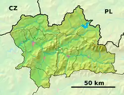 Dlhé Pole Location of Dlhé Pole in the Žilina Region 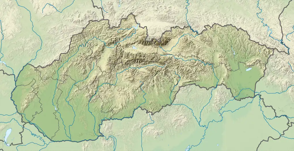 Dlhé Pole Location of Dlhé Pole in Slovakia | |
| Coordinates: 49°18′N 18°38′E / 49.30°N 18.63°E | |
| Country | |
| Region | |
| District | Žilina District |
| First mentioned | 1320 |
| Area | |
• Total | 41.03 km2 (15.84 sq mi) |
| Elevation | 536 m (1,759 ft) |
| Population (2021)[3] | |
• Total | 1,925 |
| Time zone | UTC+1 (CET) |
| • Summer (DST) | UTC+2 (CEST) |
| Postal code | 133 2[2] |
| Area code | +421 41[2] |
| Car plate | ZA |
| Website | www |
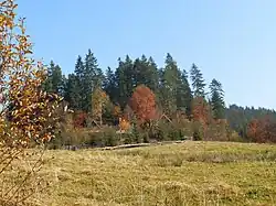
Dlhé Pole (Hungarian: Trencsénhosszúmező) is a village and municipality in Žilina District in the Žilina Region of northern Slovakia.
History
In historical records the village was first mentioned in 1320. In 1385, it was referred as Langenfelt vel Dlwhe Pole, in 1796 as Hosszú Mező/Dluhe Pole. Until 1899, it was officially called as Dlhepole, when it was renamed as Trencsénhosszúmező.
Geography
The municipality lies at an altitude of 392 metres and covers an area of 41.025 km². It has a population of about 2039 people.
Genealogical resources
The records for genealogical research are available at the state archive "Statny Archiv in Bytca, Slovakia"
- Roman Catholic church records (births/marriages/deaths): 1690-1905 (parish A))
See also
References
- ^ "Hustota obyvateľstva - obce [om7014rr_ukaz: Rozloha (Štvorcový meter)]". www.statistics.sk (in Slovak). Statistical Office of the Slovak Republic. 2022-03-31. Retrieved 2022-03-31.
- ^ a b c "Základná charakteristika". www.statistics.sk (in Slovak). Statistical Office of the Slovak Republic. 2015-04-17. Retrieved 2022-03-31.
- ^ "Počet obyvateľov podľa pohlavia - obce (ročne)". www.statistics.sk (in Slovak). Statistical Office of the Slovak Republic. 2022-03-31. Retrieved 2022-03-31.
External links