Dolní Vilímeč
Dolní Vilímeč | |
|---|---|
.jpg) Chapel of Saints Cyril and Methodius | |
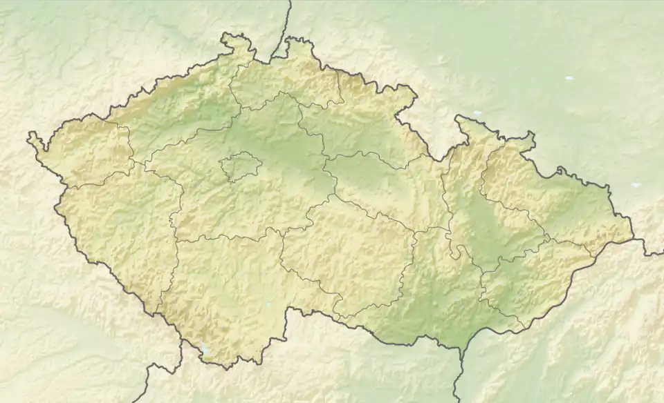 Dolní Vilímeč Location in the Czech Republic | |
| Coordinates: 49°8′9″N 15°31′14″E / 49.13583°N 15.52056°E | |
| Country | |
| Region | Vysočina |
| District | Jihlava |
| First mentioned | 1349 |
| Area | |
• Total | 5.46 km2 (2.11 sq mi) |
| Elevation | 534 m (1,752 ft) |
| Population (2025-01-01)[1] | |
• Total | 97 |
| • Density | 18/km2 (46/sq mi) |
| Time zone | UTC+1 (CET) |
| • Summer (DST) | UTC+2 (CEST) |
| Postal code | 588 56 |
| Website | www |
Dolní Vilímeč (Czech pronunciation: [ˈdolɲiː ˈvɪliːmɛtʃ]; German: Unter Wilimetsch) is a municipality and village in Jihlava District in the Vysočina Region of the Czech Republic. It has about 100 inhabitants.
Dolní Vilímeč lies approximately 30 kilometres (19 mi) south of Jihlava and 132 km (82 mi) south-east of Prague.
Demographics
| Year | Pop. | ±% |
|---|---|---|
| 1869 | 221 | — |
| 1880 | 220 | −0.5% |
| 1890 | 217 | −1.4% |
| 1900 | 213 | −1.8% |
| 1910 | 217 | +1.9% |
| 1921 | 234 | +7.8% |
| 1930 | 211 | −9.8% |
| 1950 | 138 | −34.6% |
| 1961 | 143 | +3.6% |
| 1970 | 128 | −10.5% |
| 1980 | 115 | −10.2% |
| 1991 | 104 | −9.6% |
| 2001 | 96 | −7.7% |
| 2011 | 91 | −5.2% |
| 2021 | 99 | +8.8% |
| Source: Censuses[2][3] | ||
References
- ^ "Population of Municipalities – 1 January 2025". Czech Statistical Office. 2025-05-16.
- ^ "Historický lexikon obcí České republiky 1869–2011" (in Czech). Czech Statistical Office. 2015-12-21.
- ^ "Population Census 2021: Population by sex". Public Database. Czech Statistical Office. 2021-03-27.
External links
Wikimedia Commons has media related to Dolní Vilímeč.