Emberménil
Emberménil | |
|---|---|
_mairie.jpg) The town hall in Emberménil | |
 Coat of arms | |
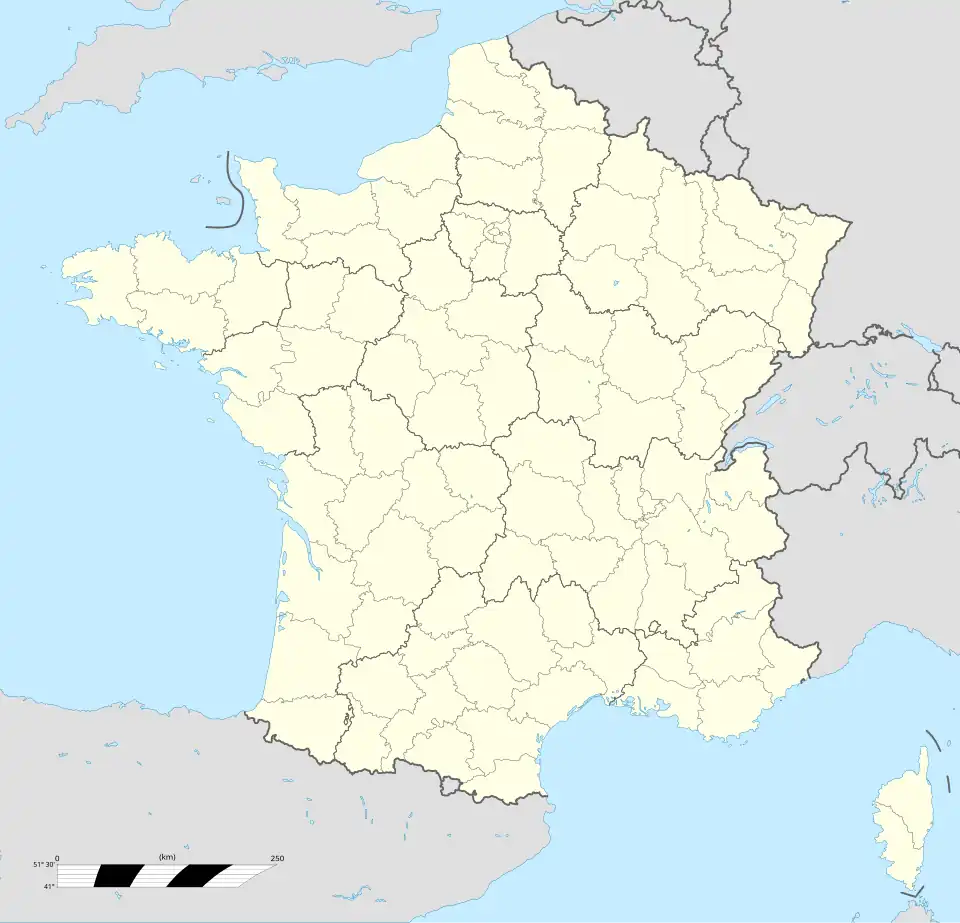
Location of Emberménil | |
 Emberménil 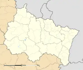 Emberménil | |
| Coordinates: 48°37′47″N 6°41′47″E / 48.6297°N 6.6964°E | |
| Country | France |
| Region | Grand Est |
| Department | Meurthe-et-Moselle |
| Arrondissement | Lunéville |
| Canton | Baccarat |
| Government | |
| • Mayor (2024–2026) | Jean-Marie Armbruster[1] |
Area 1 | 14.39 km2 (5.56 sq mi) |
| Population (2022)[2] | 240 |
| • Density | 17/km2 (43/sq mi) |
| Time zone | UTC+01:00 (CET) |
| • Summer (DST) | UTC+02:00 (CEST) |
| INSEE/Postal code | 54177 /54370 |
| Elevation | 234–313 m (768–1,027 ft) (avg. 250 m or 820 ft) |
| 1 French Land Register data, which excludes lakes, ponds, glaciers > 1 km2 (0.386 sq mi or 247 acres) and river estuaries. | |
Emberménil (French pronunciation: [ɑ̃bɛʁmenil]) is a commune in the Meurthe-et-Moselle department in north-eastern France.
See also
References
- ^ "Répertoire national des élus: les maires" (in French). data.gouv.fr, Plateforme ouverte des données publiques françaises. 12 March 2025.
- ^ "Populations de référence 2022" (in French). The National Institute of Statistics and Economic Studies. 19 December 2024.
Wikimedia Commons has media related to Emberménil.