Firwood, Washington
Firwood | |
|---|---|
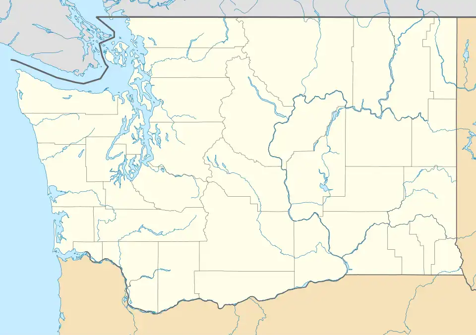 Firwood Location within the state of Washington | |
| Coordinates: 45°55′52.44″N 120°54′46.25″W / 45.9312333°N 120.9128472°W | |
| Country | United States |
| State | Washington |
| County | Klickitat |
| Elevation | 2,336 ft (712 m) |
| Time zone | UTC-8 (Pacific (PST)) |
| • Summer (DST) | UTC-7 (PDT) |
| FIPS code | 1510220[1] |
Firwood is an unincorporated community located in Klickitat County, Washington, United States. The community was settled in the early 1900s and was primarily an agricultural growing region. Sometimes called the "FG Territory", Firwood includes the former King Ranch area to the south. A post office was established at Firwood in 1903.[2]
References
- ^ U.S. Geological Survey Geographic Names Information System: Firwood, Washington
- ^ "New Postoffices Created". Tacoma Daily Ledger. July 1, 1903. p. 5. Retrieved November 1, 2024 – via Newspapers.com.