Folschviller
Folschviller | |
|---|---|
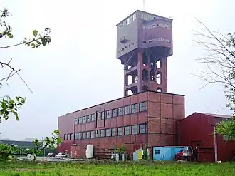 A pithead in Folschviller | |
.svg.png) Coat of arms | |
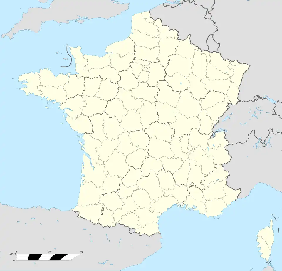
Location of Folschviller | |
 Folschviller 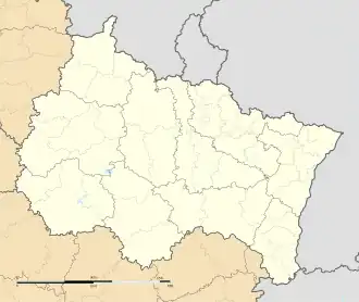 Folschviller | |
| Coordinates: 49°04′13″N 6°41′09″E / 49.0703°N 6.6858°E | |
| Country | France |
| Region | Grand Est |
| Department | Moselle |
| Arrondissement | Forbach-Boulay-Moselle |
| Canton | Saint-Avold |
| Intercommunality | CA Saint-Avold Synergie |
| Government | |
| • Mayor (2020–2026) | Didier Zimny[1] |
Area 1 | 9.46 km2 (3.65 sq mi) |
| Population (2022)[2] | 3,937 |
| • Density | 420/km2 (1,100/sq mi) |
| Time zone | UTC+01:00 (CET) |
| • Summer (DST) | UTC+02:00 (CEST) |
| INSEE/Postal code | 57224 /57730 |
| Elevation | 246–387 m (807–1,270 ft) (avg. 276 m or 906 ft) |
| 1 French Land Register data, which excludes lakes, ponds, glaciers > 1 km2 (0.386 sq mi or 247 acres) and river estuaries. | |
Folschviller (French pronunciation: [fɔlʃvilɛʁ]; German: Folschweiler[3]) is a commune in the Moselle department in Grand Est in north-eastern France.
In March 2025 it was announced that a massive reserve of hydrogen had been discovered under Folschviller, estimated to be 46 million tons, worth 92 billion dollars. It is the largest discovery of naturally occurring hydrogen to date. https://www.forbes.com/sites/rrapier/2025/03/28/frances-natural-hydrogen-discoveries-could-redefine-clean-energy/ Localities of the commune: Aling, Berfang Neuf, Vieux Berfang.
Population
| Year | Pop. | ±% p.a. |
|---|---|---|
| 1968 | 4,825 | — |
| 1975 | 4,712 | −0.34% |
| 1982 | 4,957 | +0.73% |
| 1990 | 4,581 | −0.98% |
| 1999 | 4,635 | +0.13% |
| 2007 | 4,308 | −0.91% |
| 2012 | 4,168 | −0.66% |
| 2017 | 3,993 | −0.85% |
| Source: INSEE[4] | ||
See also
References
- ^ "Répertoire national des élus: les maires". data.gouv.fr, Plateforme ouverte des données publiques françaises (in French). 2 December 2020.
- ^ "Populations de référence 2022" (in French). The National Institute of Statistics and Economic Studies. 19 December 2024.
- ^ Cassini - Notice communale of Folschviller
- ^ Population en historique depuis 1968, INSEE
External links
 Media related to Folschviller at Wikimedia Commons