Kinsabba
Kinsabba
كنسبا | |
|---|---|
| Kansaba | |
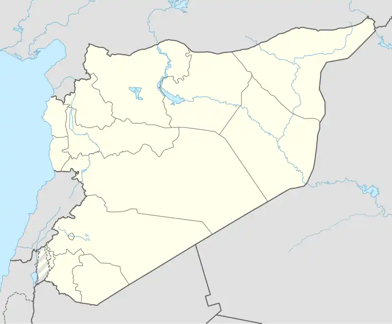 Kinsabba Location in Syria | |
| Coordinates: 35°44′38″N 36°9′50″E / 35.74389°N 36.16389°E | |
| Country | |
| Governorate | Latakia |
| District | al-Haffah |
| Subdistrict | Kinsabba |
| Population (2004) | |
• Total | 514 |
| Time zone | UTC+2 (EET) |
| • Summer (DST) | UTC+3 (EEST) |
Kinsabba (Arabic: كنسبا, also spelled Kansaba) is a town in northwestern Syria administratively belonging to the Latakia Governorate, located northeast of Latakia. Nearby localities include Slinfah to the south, al-Haffah to the southwest, Balloran and Umm al-Tuyour to the west, Qastal Ma'af to the northwest, al-Najiyah to the northeast, Qarqur to the east and Sirmaniyah to the southeast. According to the Syria Central Bureau of Statistics (CBS), Kinsabba had a population was 514 in 2004. It is the administrative center, but 16th largest locality, of the Kinsabba nahiyah ("subdistrict") which contains 35 localities with a collective population of 17,615.[1] Its inhabitants were mostly Christians during the first half of the twentieth century, but it had become a predominantly Sunni Muslim village by 1994.[2][3]
As of April 2025 the village is uninhabited.[4]
References
- ^ General Census of Population and Housing 2004. Syria Central Bureau of Statistics (CBS). Latakia Governorate. (in Arabic)
- ^ Balanche, 2006, p. 44.
- ^ Balanche, Fabrice (20 March 2006). Les Alaouites, l'espace et le pouvoir dans la région côtière syrienne : une intégration nationale ambiguë (phdthesis thesis) (in French). Université François Rabelais - Tours. p. 92. Retrieved 5 August 2025.
- ^ "Syrian Arab Republic — Population Mobility and Baseline Assessment — Round 3 (Apr 2025) | Displacement Tracking Matrix". dtm.iom.int. Retrieved 2025-06-09.
Bibliography
- Balanche, Fabrice (2006). La région alaouite et le pouvoir syrien (in French). Karthala Editions. ISBN 2845868189.
| ||||||||||||||||||||
| ||||||||||||||||||||
| ||||||||||||||||||||
| ||||||||||||||||||||