Kotli Kopa
Kotli Kuppa
کوٹلی کپہ | |
|---|---|
Village | |
 | |
 Kotli Kuppa | |
| Coordinates: 32°18′15″N 74°22′55″E / 32.30417°N 74.38194°E | |
| Country | |
| Province | Punjab |
| Division | Gujranwala |
| District | Sialkot |
| Tehsil | Daska |
| Thana | Daska Saddar |
| union council | Raja Ghuman |
| Time zone | UTC+5 (PST) |
| Highways | |
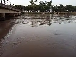
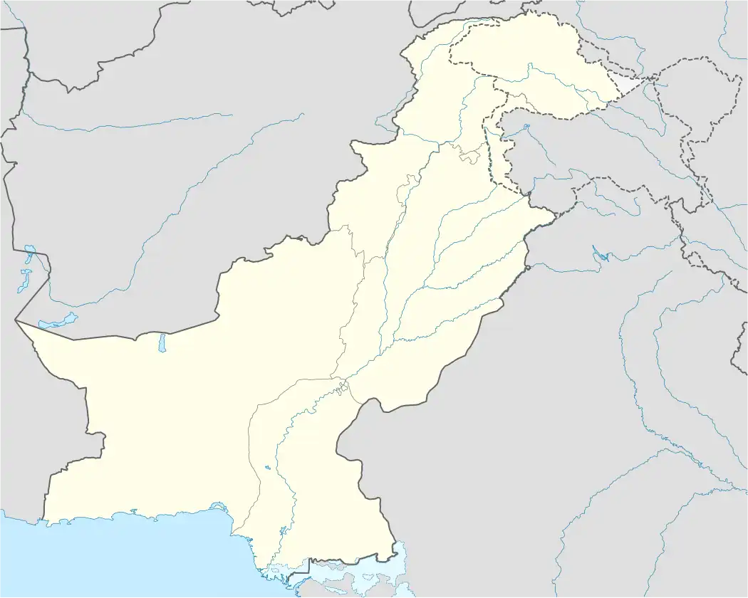
Kotli Kuppa[1] is a medium size village in Daska Tehsil, Sialkot District, in the Punjab province of Pakistan. The village is part of the Union Council Raja Ghumman.[2] Nearby villages are Watalian, and Raja Ghumman.[3] The M-11 motorway is routed near village. Koti Kuppa is around 5 kilometres from Daska tehsil and 32 km from Sialkot International Airport.[4][5]
Education
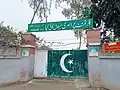
There are two government schools and are one private one in the village.
- Govt Boys primary school
-
 Government primary schoolا
 -
![Government school[6]](./_assets_/Govt_School_Kotli_Kuppa.jpg) Government school[6]
Government school[6]
- Govt Girls primary school
References
- ^ "September 15, 1950 (Friday) Kankakee Daily Journal: KDJ - 1950". Kotli Kuppa. Community Partnerships. Olivet Nazarene University: 6, 10. 15 September 1950.
- ^ "NRB: Local Government Elections Union council Raja Ghuman". 9 February 2012. Archived from the original on 9 February 2012. Retrieved 4 September 2024.
- ^ Punjab (Pakistan) (2005). Estimates of Charged Expenditure and Demands for Grants (Development). p. 125.
- ^ Punjab (Pakistan) (2005). Annual Development Programme for Kotli Kuppa Punjab Pakistan. p. 172. Retrieved 28 January 2024.
- ^ "Maps, Weather, nearby villages and Airports for Kotli Kuppa, Pakistan کوٹلی کپہ". www.fallingrain.com. Retrieved 28 January 2024.
- ^ "Gps Kotli Kupa - Pakistan". institutes.theinfoport.com. Retrieved 31 January 2024.
- ^ Punjab (Pakistan) (2005). Estimates of Charged Expenditure and Demands for Grants (Development). p. 125. Retrieved 27 August 2024.