Lightcliffe railway station
Lightcliffe | |||||
|---|---|---|---|---|---|
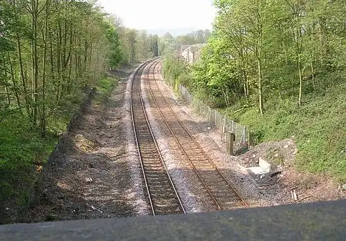 Site of the former Lightcliffe railway station. The platforms were either side of the line in the foreground up to the base of the bridge. | |||||
| General information | |||||
| Location | Lightcliffe, Calderdale England | ||||
| Coordinates | 53°43′30″N 1°47′56″W / 53.725°N 1.799°W | ||||
| Grid reference | SE133254 | ||||
| Platforms | 2 | ||||
| Other information | |||||
| Status | Disused | ||||
| History | |||||
| Pre-grouping | Lancashire and Yorkshire Railway | ||||
| Post-grouping | London, Midland and Scottish Railway | ||||
| Key dates | |||||
| 1850 | opened | ||||
| 1965 | closed | ||||
| |||||
Lightcliffe railway station served the village of Lightcliffe in West Yorkshire, England. It was opened in August 1850 and was a victim of the Beeching cuts on 14 June 1965.[1][2]
| Preceding station | Disused railways | Following station | ||
|---|---|---|---|---|
| Hipperholme | L&Y Caldervale line |
Wyke and Norwood Green |
Calderdale Lines |
|---|
Past, present and future
|
References
- ^ From Weaver to Web: Lightcliffe, Calderdale Council, retrieved 15 January 2012
- ^ Quick, M. E. (2002). Railway passenger stations in England, Scotland and Wales – a chronology. Richmond: Railway and Canal Historical Society. p. 264. OCLC 931112387.
- Bairstow, Martin (1987). The Manchester and Leeds Railway: The Calder Valley Line. Halifax: Martin Bairstow. p. 28. ISBN 1-871944-22-8.
External links