Luwangsangbam
Luwangsangbam | |
|---|---|
Census town | |
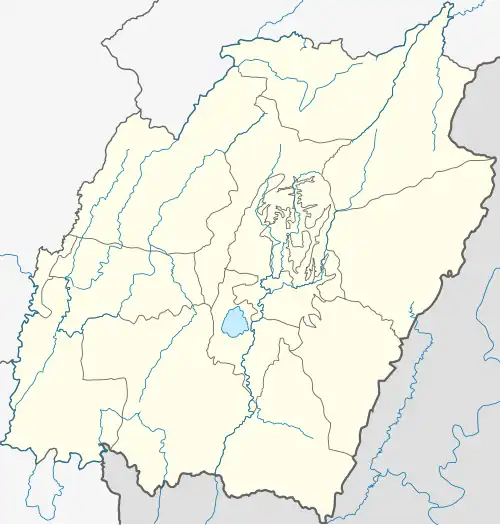 Luwangsangbam Location in Manipur, India 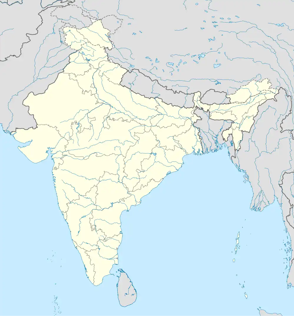 Luwangsangbam Luwangsangbam (India) | |
| Coordinates: 24°52′N 93°54′E / 24.87°N 93.90°E | |
| Country | |
| State | Manipur |
| District | Imphal East district |
| Tehsil | Porompat |
| Nearest city | Imphal |
| Lok Sabha constituency | Inner Manipur |
| Manipur Legislative Assembly | Heingang |
| Government | |
| • Type | Panchayat |
| Population (2011) | |
• Total | 3,458 |
• Estimate (2025) | 4,800 |
| Languages | |
| • Official | Meitei |
| Time zone | UTC+5:30 (IST) |
| PIN | 795002 |
| Telephone code | 03848 |
| Vehicle registration | MN |
| Website | manipur |
Luwangsangbam is a census town and village in the Porompat tehsil of Imphal East district in the North east Indian state of Manipur.[1] Historically, it was the capital region of ancient Luwang dynasty.[2]
History and name
The Luwangsangbam name is connected to Luwang-- one of the seven clans (Meitei: yek salai) of the Meitei people. During the early centuries of the common era, the Luwang built one of the very first small principalities in the Manipur valley, with Luwangsangbam as its kangla (capital).[2][3]
Geography
Luwangsangbam is situated roughly 8km north of the city of Imphal, where the terrain is smooth and where access to the Imphal River is available. Other nearby localities include Nilakuthi, Heingang, and Kairang Khomidok.[4]
Demographics
As at the 2011 census:[5]
- The population was 3,458 with 1676 male and 1782 female. There were 396 children under 6 (11.45 per cent).
- The child sex ratio was 886 girls to 1000 boys.
- There were 1063 female people per 1,000 males, which was more than the state average of 985.
- The general literacy rate was 90.46 percent; male was 97.07 percent and female was 84.40 percent.
- The estimated population in 2025 is 4,800.
Amenities and infrastructure
The town is covered by a local post office with PIN 795002.[6] There are the events and festivals held at the Luwangsangbam Community Hall in Liberal College Road.[7]
Education
Liberal College, Luwangsangbam was founded in 1979. It began teaching on 10 August 1979, using classrooms at Srivan High School until its permanent campus was erected near NH-2. Accredited by Manipur University, it runs undergraduate programmes in Arts, Science, and Commerce and it has facilities of an indoor stadium and women hostel.[8]
Community organisations
The Anita Chanu Weightlifting Academy Society encourages sports, focusing mainly on weightlifting.[9]
Administration and politics
Luwangsangbam is in the Heingang Assembly constituency of the Manipur Legislative Assembly, and the Inner Manipur Lok Sabha constituency.[10]
Postal and transport
- PIN code: 795002[6]
- Telephone code: 03848
- Nearest railway station: Jiribam
- Nearest airport: Imphal Airport (~10 km)
- Nearby national highways:
References
- ^ "Luwangsangbam (Imphal East, Manipur, India) - Population Statistics, Charts, Map, Location, Weather and Web Information". citypopulation.de. Retrieved 2025-06-14.
- ^ a b Sanajaoba, Naorem (1988). Manipur, Past and Present: The Heritage and Ordeals of a Civilization. Mittal Publications. ISBN 978-81-7099-853-2.
- ^ Discovery of Kangleipak. 2021.
- ^ a b "Luwangsangbam village". villageinfo.in.
- ^ "Luwangsangbam Census Town City Population Census 2011-2025 | Manipur". www.census2011.co.in. Retrieved 2025-07-05.
- ^ a b "Luwangsangbam Pincode". indiamapia.com.
- ^ "Luwangsangbam Community Hall". o2osell.com.
- ^ "Liberal College, Luwangsangbam". liberalcollege.ac.in.
- ^ "Anita Chanu Weightlifting Academy Society". NGOFoundation.
- ^ "Heingang Assembly constituency" (PDF). ceomanipur.nic.in.
- ^ "Rationalization of Numbering Systems of National Highways" (PDF). Govt of India. 28 April 2010. Retrieved 21 Aug 2011.