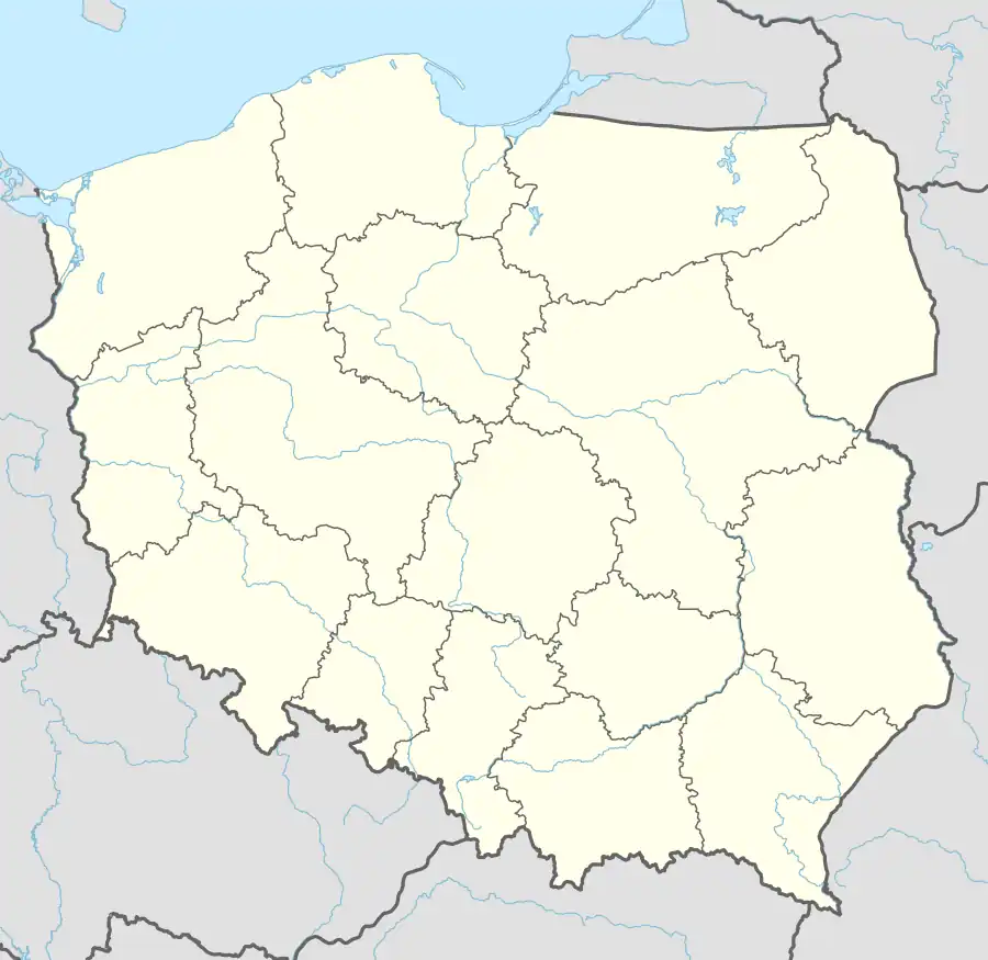
Maciejowice, Opole Voivodeship
Maciejowice | |
|---|---|
Village | |
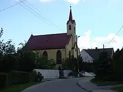 Catholic church | |
 Maciejowice | |
| Coordinates: 50°30′3″N 17°8′10″E / 50.50083°N 17.13611°E | |
| Country | |
| Voivodeship | Opole |
| County | Nysa |
| Gmina | Otmuchów |
| Highest elevation | 240 m (790 ft) |
| Lowest elevation | 220 m (720 ft) |
| Population | 750 |
Maciejowice [mat͡ɕɛjɔˈvit͡sɛ] is a village in the administrative district of Gmina Otmuchów, within Nysa County, Opole Voivodeship, in south-western Poland, close to the Czech border.[1] It lies approximately 5 km (3 mi) north-west of Otmuchów, 15 km (9 mi) west of Nysa, and 60 km (37 mi) west of the regional capital Opole.
References
- ^ "Główny Urząd Statystyczny" [Central Statistical Office] (in Polish). To search: Select "Miejscowości (SIMC)" tab, select "fragment (min. 3 znaki)" (minimum 3 characters), enter town name in the field below, click "WYSZUKAJ" (Search).