Matalai Rural LLG
Matalai Rural LLG | |
|---|---|
 District map of New Ireland Province | |
| Country | Papua New Guinea |
| Province | New Ireland Province |
| Time zone | UTC+10 (AEST) |
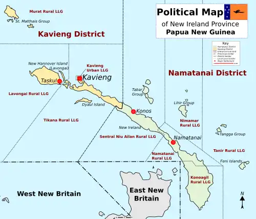
Matalai Rural LLG was created from Wards 15–21 in the Namatanai LLG in Namatanai district of New Ireland Province. Matalai Rural LLG currently has 11 Wards altogether. There are:
Ward 1 Rativis - Kudukudu
Ward 2 Hibaling - Balai
Ward 3 Hilolon - Poronbus
Ward 4 Himau - Tekedan
Ward 5 Nokon - Himaul
Ward 6 Huris - Porpop - Likas
Ward 7 Hipakat - Samo
Ward 8 Kapsel - Kebeng
Ward 9 Ruka - Kabirara - Porbunbun
Ward 10 Sena - Pulpulu
Ward 11 Muliama - Warangansau
.[1][2] It is located in the South East Coast of New Ireland Province. It has a population of 12,393 as of the 2011 PNG National Census. The current LLG President is Augustine Topi. Languages spoken here are Sursurunga language, Tanglamet
- Sursurunga at Ethnologue (18th ed., 2015)
References