Nová Bělá
Nová Bělá | |
|---|---|
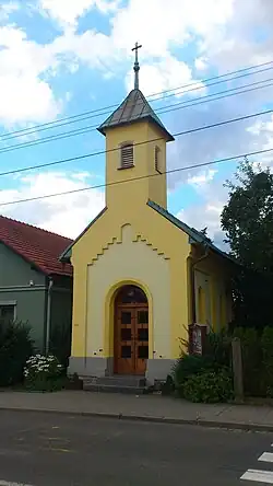 Chapel in Nová Bělá | |
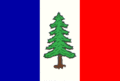 Flag 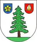 Coat of arms | |
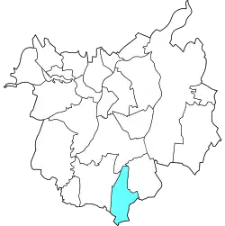 Location of Nová Bělá in Ostrava | |
| Coordinates: 49°45′13″N 18°15′15″E / 49.7535°N 18.2543°E | |
| Country | Czech Republic |
| Region | Moravian-Silesian Region |
| City | Ostrava |
| Area | |
• Total | 7.18 km2 (2.772 sq mi) |
| Population (2021)[1] | |
• Total | 2,207 |
| • Density | 310/km2 (800/sq mi) |
| Time zone | UTC+1 (CET) |
| • Summer (DST) | UTC+2 (CEST) |
| Postal code | 724 00 |
| Website | https://www.novabela.cz/ |
Nová Bělá is a borough and municipal district of the city of Ostrava, Czech Republic, situated in the southern part of the city. Originally, it was a separate village, until it merged with Ostrava in 1941. In 1954, Nová Bělá separated from Ostrava and remained independent until 1 January 1975, when it became part of the city once again.[2] On 24 November 1990, it became one of the 23 self-governing boroughs of Ostrava.[3]
Etymology
The name is derived from the creek Bělá, which flows through the area.[4] The word bělá comes from the Czech adjective bílý, meaning white – hence, the name refers to a 'white creek'.[5] The adjective nová (feminine form of nový), which means new, was added to distinguish the municipality from its older neighbor, Stará Bělá.[6][7]
Gallery
-
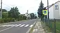 Main street in Nová Bělá
 -
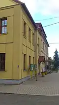 Elementary school in Nová Bělá
References
- ^ "Results of the 2021 Census - Open data". Public Database (in Czech). Czech Statistical Office. 27 March 2021.
- ^ "Historie obce Nová Bělá: Nová Bělá". www.novabela.cz. Retrieved 7 July 2025.
- ^ "Ostravské městské obvody – eOstrava.cz" (in Czech). Retrieved 6 July 2025.
- ^ "Základní údaje — Čeština". starabela.ostrava.cz. Retrieved 7 July 2025.
- ^ "Tomášův Internet - Proti proudu Bělé od soutoku k prameni". www.pohodar.com. Retrieved 7 July 2025.
- ^ "Památky obce Stará Bělá, politický okres Moravská Ostrava". www.soupispamatek.com. Retrieved 7 July 2025.
- ^ "Z Nové Bělé do Mitrovic – ostravskepesiny.cz" (in Czech). 12 April 2025. Retrieved 7 July 2025.