Qilpenlui-ye Sofla
Qilpenlui-ye Sofla
Persian: قلپنلوي سفلي | |
|---|---|
Village | |
 Qilpenlui-ye Sofla | |
| Coordinates: 38°27′44″N 47°57′00″E / 38.46222°N 47.95000°E[1] | |
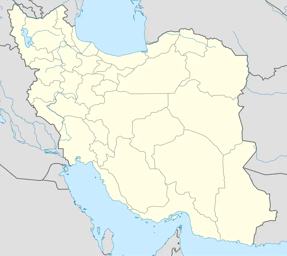
| Country | Iran |
| Province | Ardabil |
| County | Meshgin Shahr |
| District | Meshgin-e Sharqi |
| Rural District | Naqdi |
| Population (2016)[2] | |
• Total | Below reporting threshold |
| Time zone | UTC+3:30 (IRST) |
Qilpenlui-ye Sofla (Persian: قلپنلوي سفلي)[a] is a village in Naqdi Rural District[4] of Meshgin-e Sharqi District in Meshgin Shahr County, Ardabil province, Iran.
Demographics
Population
At the time of the 2006 National Census, the village's population was 24 in seven households.[5] The following census in 2011 counted a population below the reporting threshold.[6] The 2016 census again measured the population as below the reporting threshold.[2]
See also
Notes
References
- ^ OpenStreetMap contributors (26 May 2025). "قیلپنلوی سفلی, قیلپنلوی علیا, دهستان نقدی, بخش مشگین شرقی [Qilpenlui-ye Sofla, Qilpenlui-ye Olya, Naqdi Rural District, Meshgin-e Sharqi District], Meshkinshahr County, Iran" (Map). OpenStreetMap (in Persian). Retrieved 26 May 2025.
- ^ a b سرشماري عمومي نفوس و مسكن 1395 : استان اردبیل [General Population and Housing Census 2016: Ardabil Province]. مرکز آمار ایران [Statistical Centre of Iran] (in Persian). Archived from the original (Excel) on 22 March 2019. Retrieved 19 June 2025.
- ^ Qilpenlui-ye Sofla can be found at GEOnet Names Server, at this link, by opening the Advanced Search box, entering "-3829053" in the "Unique Feature Id" form, and clicking on "Search Database".
- ^ Mousavi, Mir-Hossein (9 August 1987) [تاریخ تصویب (Approval date) 1366/05/18 (Iranian Jalali calendar)]. ایجاد و تشکیل 10 دهستان شامل روستاها، مزارع و مکانهای در شهرستان مشکین شهر تابع استان آذربایجان شرقی [Creation and formation of 10 rural districts including villages, farms and places in Meshgin Shahr County under East Azerbaijan province]. لام تا کام [Lam ta Kam] (in Persian). وزارت کشور [Ministry of the Interior]. هیات وزیران [Council of Ministers]. شناسه [ID] C18B26BE-7AB6-4FA9-AB16-B3D821034797. شماره دوره [Course number] 66, شماره جلد [Volume number] 11. Archived from the original on 19 June 2025. Retrieved 19 June 2025.
- ^ سرشماري عمومي نفوس و مسكن 1385 : استان اردبیل [General Population and Housing Census 2006: Ardabil Province]. مرکز آمار ایران [Statistical Centre of Iran] (in Persian). Archived from the original (Excel) on 20 September 2011. Retrieved 19 June 2025.
- ^ سرشماري عمومي نفوس و مسكن 1390 : استان اردبیل [General Population and Housing Census 2011: Ardabil Province]. Iran Data Portal—Syracuse University (in Persian). مرکز آمار ایران [Statistical Centre of Iran]. Archived from the original (Excel) on 15 January 2023. Retrieved 19 June 2025.
| Capital | 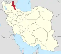 | ||||||||||||||||||||||
|---|---|---|---|---|---|---|---|---|---|---|---|---|---|---|---|---|---|---|---|---|---|---|---|
| Counties and cities |
| ||||||||||||||||||||||
| Landmarks |
| ||||||||||||||||||||||
| Places | |||||||||||||||||||||||