Redcrest, California
Redcrest | |
|---|---|
 | |
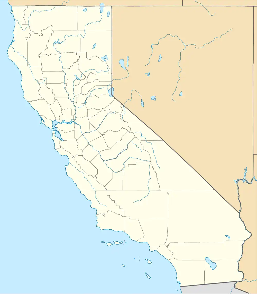 Redcrest Location in California | |
| Coordinates: 40°24′02″N 123°57′00″W / 40.40056°N 123.95000°W | |
| Country | |
| State | |
| County | Humboldt County |
| Area | |
• Total | 0.598 sq mi (1.549 km2) |
| • Land | 0.598 sq mi (1.549 km2) |
| • Water | 0 sq mi (0 km2) 0% |
| Elevation | 377 ft (115 m) |
| Population | |
• Total | 61 |
| • Density | 100/sq mi (39/km2) |
| Time zone | UTC-8 (Pacific (PST)) |
| • Summer (DST) | UTC-7 (PDT) |
| ZIP Code | 95569 |
| Area code | 707 |
| GNIS feature IDs | 1659487; 2628781 |
| U.S. Geological Survey Geographic Names Information System: Redcrest, California; U.S. Geological Survey Geographic Names Information System: Redcrest, California | |
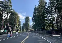
Redcrest is a census-designated place[4] in Humboldt County, California.[2] It is located 5.5 miles (8.9 km) north of Weott,[5] at an elevation of 377 feet (115 m).[2] The population was 61 at the 2020 census.
The Redcrest post office was established in 1965.[5]
The greater Redcrest area includes the Holmes flat, Englewood and Larabee areas.
Redcrest is located along the Avenue of the Giants. The ZIP Code is 95569.[6] The community is inside area code 707.
Demographics
| Census | Pop. | Note | %± |
|---|---|---|---|
| 2010 | 89 | — | |
| 2020 | 61 | −31.5% | |
| U.S. Decennial Census[7] 2010[8] | |||
Red Corral first appeared as a census designated place in the 2010 U.S. Census.[8]
The 2020 United States census reported that Redcrest had a population of 61. The population density was 102.0 inhabitants per square mile (39.4/km2). The racial makeup of Redcrest was 56 (92%) White, 3 (5%) Native American, and 2 (3%) from two or more races. Hispanic or Latino of any race were 0 persons (0.0%).[9]
There were 28 households, out of which 6 (21%) had children under the age of 18 living in them, 14 (50%) were married-couple households, 3 (11%) were cohabiting couple households, 3 (11%) had a female householder with no partner present, and 8 (29%) had a male householder with no partner present. Three households (11%) were one person, and two (7%) were one person aged 65 or older. The average household size was 2.18.[9] There were 21 families (75% of all households).[10]
The age distribution was 13 people (21%) under the age of 18, 4 people (7%) aged 18 to 24, 18 people (30%) aged 25 to 44, 14 people (23%) aged 45 to 64, and 12 people (20%) who were 65 years of age or older. The median age was 39.8 years. There were 33 males and 28 females.[9]
There were 32 housing units at an average density of 53.5 units per square mile (20.7 units/km2), of which 28 (88%) were occupied. Of these, 14 (50%) were owner-occupied, and 14 (50%) were occupied by renters.[9]
Politics
In the state legislature, Redcrest is in the 2nd senatorial district, represented by Democrat Mike McGuire,[11] and the 2nd Assembly district, represented by Democrat Chris Rogers.[12]
Federally, Redcrest is in California's 2nd congressional district, represented by Democrat Jared Huffman.[13]
See also
References
- ^ "2020 U.S. Gazetteer Files". United States Census Bureau. Retrieved July 2, 2025.
- ^ a b c U.S. Geological Survey Geographic Names Information System: Redcrest, California
- ^ "Explore Census Data". data.census.gov. Retrieved May 6, 2023.
- ^ U.S. Geological Survey Geographic Names Information System: Redcrest, California
- ^ a b Durham, David L. (1998). California's Geographic Names: A Gazetteer of Historic and Modern Names of the State. Clovis, California: Word Dancer Press. p. 129. ISBN 1-884995-14-4.
- ^ USPS ZIP Code lookup tool
- ^ "Decennial Census by Decade". United States Census Bureau.
- ^ a b "2010 Census of Population - Population and Housing Unit Counts - California" (PDF). United States Census Bureau.
- ^ a b c d "Redcrest CDP, California; DP1: Profile of General Population and Housing Characteristics - 2020 Census of Population and Housing". US Census Bureau. Retrieved July 2, 2025.
- ^ "Redcrest CDP, California; P16: Household Type - 2020 Census of Population and Housing". US Census Bureau. Retrieved July 2, 2025.
- ^ "Senators". State of California. Retrieved March 10, 2013.
- ^ "Members Assembly". State of California. Retrieved March 2, 2013.
- ^ "California's 2nd Congressional District - Representatives & District Map". Civic Impulse, LLC. Retrieved March 1, 2013.
