Rochegda
Rochegda
Рочегда | |
|---|---|
Settlement | |
 Rochegda 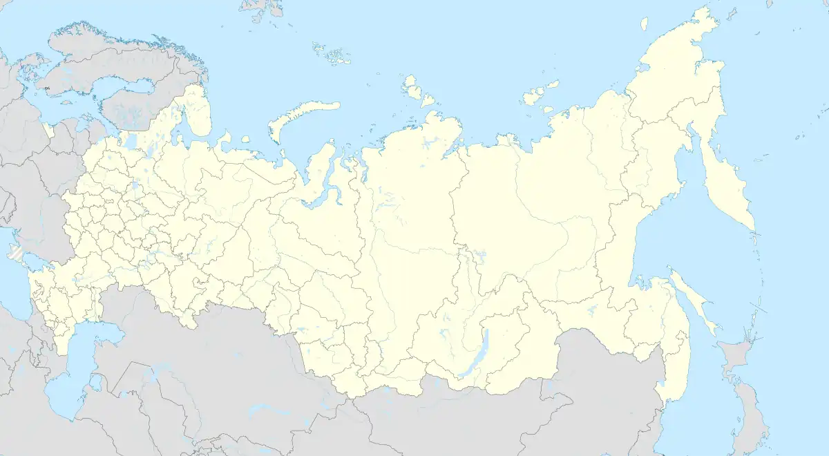 Rochegda | |
| Coordinates: 62°40′N 43°24′E / 62.667°N 43.400°E[1] | |
| Country | Russia |
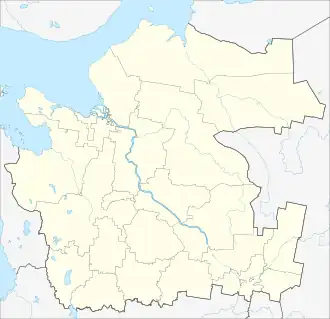
| Region | Arkhangelsk Oblast |
| District | Vinogradovsky District |
| Time zone | UTC+3:00 |
Rochegda (Russian: Рочегда) is a rural locality (a settlement) and the administrative center of Rochegodskoye Rural Settlement of Vinogradovsky District, Arkhangelsk Oblast, Russia. The population was 1989 as of 2010.[2] There are 21 streets.
in 1996 a memorial was erected outside the village in the camp cemetery of Kuloilag,[3] which existed for two years nearby.[4]
Geography
Rochegda is located 45 km southeast of Bereznik (the district's administrative centre) by road. Pleso is the nearest rural locality.[5]
References
- ^ Карта поселка Рочегда в Архангельской области
- ^ Всероссийская перепись населения 2010 года. Численность по муниципальным образованиям и населенным пунктам Архангельской области
- ^ https://en.mapofmemory.org/gulag-northwest-russia-1931-1960
- ^ https://en.mapofmemory.org/29-17
- ^ Расстояние от Березника до Рочегды