Sendraž
Sendraž | |
|---|---|
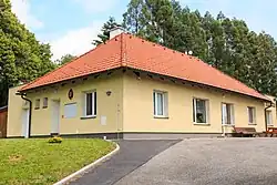 Municipal office | |
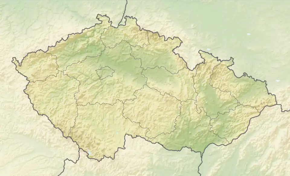 Sendraž Location in the Czech Republic | |
| Coordinates: 50°22′4″N 16°12′8″E / 50.36778°N 16.20222°E | |
| Country | |
| Region | Hradec Králové |
| District | Náchod |
| First mentioned | 1338 |
| Area | |
• Total | 1.84 km2 (0.71 sq mi) |
| Elevation | 550 m (1,800 ft) |
| Population (2025-01-01)[1] | |
• Total | 112 |
| • Density | 61/km2 (160/sq mi) |
| Time zone | UTC+1 (CET) |
| • Summer (DST) | UTC+2 (CEST) |
| Postal code | 549 01 |
| Website | sendraz |
Sendraž (German: Sendrasch) is a municipality and village in Náchod District in the Hradec Králové Region of the Czech Republic. It has about 100 inhabitants.
Etymology
The initial name of the village was probably Sěmidraž and was derived from the personal name Sěmidrah, meaning "Sěmidrah's (court)".[2]
Geography
Sendraž is located about 5 kilometres (3 mi) south of Náchod and 31 km (19 mi) northeast of Hradec Králové. It lies in the Orlické Foothills. The highest point is the Na Vartě hill at 618 m (2,028 ft) above sea level.
History
The first written mention of Sendraž is from 1338, when the village was almost entirely destroyed by fire. From 1548 until the establishment of an independent municipality in 1848, Sendraž belonged to the Náchod estate. From 1959 to 1990, Sendraž was a municipal part of Jestřebí.[3]
Demographics
|
|
| ||||||||||||||||||||||||||||||||||||||||||||||||||||||
| Source: Censuses[4][5] | ||||||||||||||||||||||||||||||||||||||||||||||||||||||||
Transport
There are no railways or major roads passing through the municipality.
Sights
There are no protected cultural monuments in the municipality.[6]
A tourist destination is the observation tower on the Na Vartě hill. From the 1920s to the 1950s, a wooden tower stood on the hill. In 2007–2009, a metal observation tower was built, which also serves as a telecommunications tower for a mobile operator. The tower is 50 m (164 ft) high and the observation deck is at a height of 28 m (92 ft).[7]
References
- ^ "Population of Municipalities – 1 January 2025". Czech Statistical Office. 2025-05-16.
- ^ Profous, Antonín (1957). Místní jména v Čechách IV: S–Ž (in Czech). p. 43.
- ^ "O obci" (in Czech). Obec Sendraž. Retrieved 2025-07-22.
- ^ "Historický lexikon obcí České republiky 1869–2011" (in Czech). Czech Statistical Office. 2015-12-21.
- ^ "Population Census 2021: Population by sex". Public Database. Czech Statistical Office. 2021-03-27.
- ^ "Výsledky vyhledávání: Kulturní památky, obec Sendraž". Ústřední seznam kulturních památek (in Czech). National Heritage Institute. Retrieved 2025-07-22.
- ^ "Rozhledna" (in Czech). Obec Sendraž. Retrieved 2025-07-22.
External links