Simaluguri
Gargaon | |
|---|---|
Town | |
| Gargaon | |
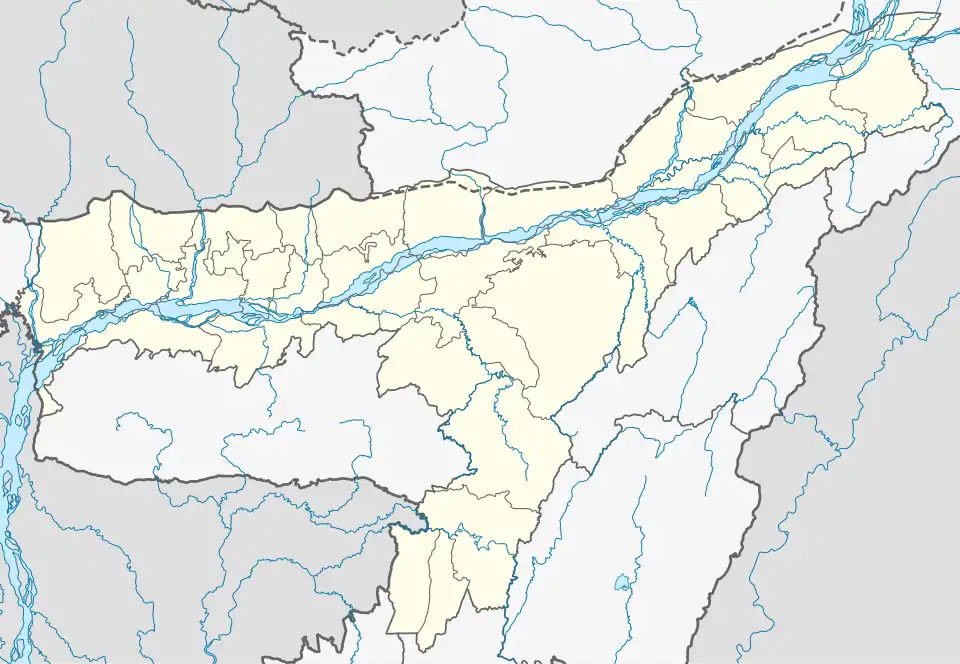 Gargaon Location in Assam, India 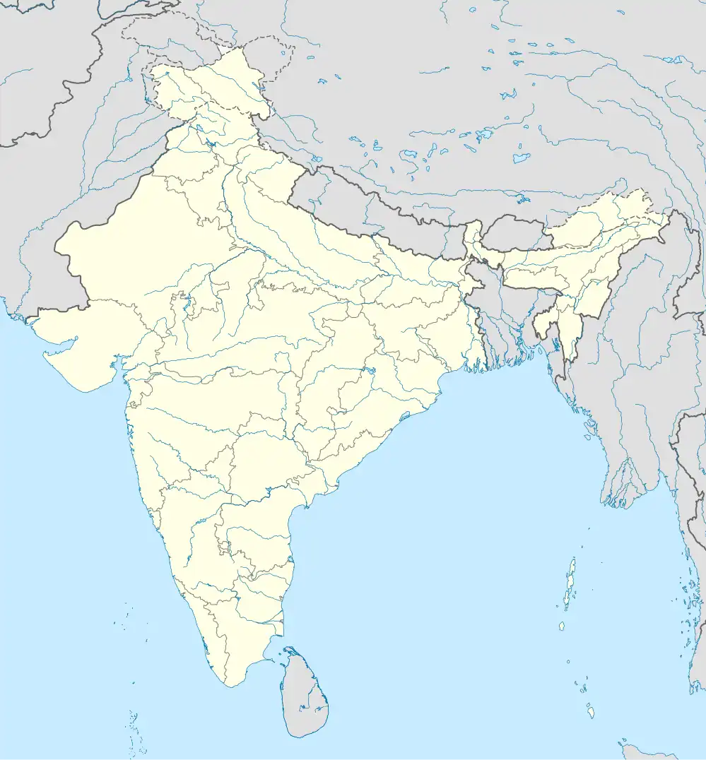 Gargaon Gargaon (India) | |
| Coordinates: 26°55′16″N 94°45′16″E / 26.92111°N 94.75444°E | |
| Country | |
| State | Assam |
| District | Sivasagar |
| Government | |
| • Body | Gargaon Town Committee |
| Elevation | 100 m (300 ft) |
| Population (2025) | |
• Total | 50,000 |
| Languages | |
| • Official | Assamese |
| Time zone | UTC+5:30 (IST) |
| PIN[1] | 785686[1] |
| ISO 3166 code | IN-AS |
| Vehicle registration | AS-04 |
| Nearest city | SivasagarNaziraSonari |
| Lok Sabha constituency | Jorhat |
| Vidhan Sabha constituency | Nazira |
Gargaon is a town area in Sivasagar district in the state of Assam, India.The Dikhow River flows near it.
Transportation
The primary railway station of Sivasagar district is Simaluguri Junction railway station, which lies on the Lumding–Dibrugarh section.[1][2] Also you can use Bus station from SIvasagar town.
References
- ^ a b c d "SLGR/Simaluguri Junction (3 PFs) Railway Station Map/Atlas - India Rail Info". India Rail Info. Retrieved 9 December 2015.
- ^ "Simaluguri Junction Railway Station Train Time table on Cleartrip.com | Trains passing through Simaluguri Junction Station". www.cleartrip.com. Retrieved 9 December 2015.