Skodje (village)
Skodje | |
|---|---|
Village | |
 Skodje 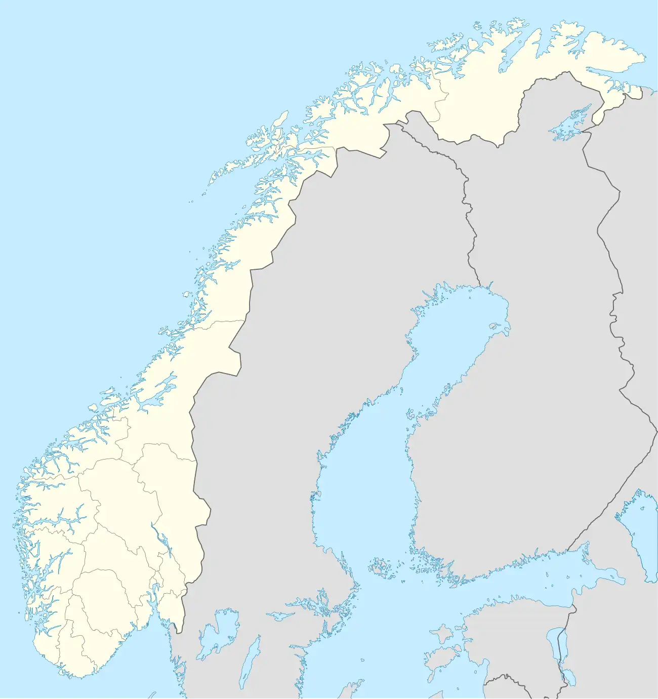 Skodje | |
| Coordinates: 62°30′16″N 06°41′35″E / 62.50444°N 6.69306°E | |
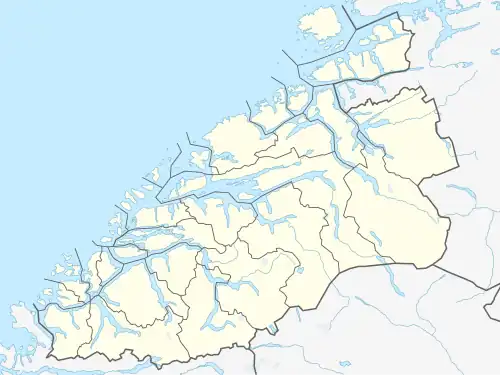
| Country | Norway |
| Region | Western Norway |
| County | Møre og Romsdal |
| District | Sunnmøre |
| Municipality | Ålesund Municipality |
| Area | |
• Total | 1.72 km2 (0.66 sq mi) |
| Elevation | 42 m (138 ft) |
| Population (2024)[1] | |
• Total | 2,544 |
| • Density | 1,479/km2 (3,830/sq mi) |
| Time zone | UTC+01:00 (CET) |
| • Summer (DST) | UTC+02:00 (CEST) |
| Post Code | 6260 Skodje |
Skodje[3] is a village in Ålesund Municipality in Møre og Romsdal county, Norway. The village is located along the shore of the Skodjevika, an inlet off the main Ellingsøyfjorden. The village of Valle is located along European route E39/European route E136 highway just a few kilometers south of the village. Skodje Church is located in the village and the historic Skodje Bridge lies just west of the village.[4]
The 1.72-square-kilometre (430-acre) village has a population (2024) of 2,544 and a population density of 1,479 inhabitants per square kilometre (3,830/sq mi).[1]
History
Prior to 2020, this village was the administrative centre of the old Skodje Municipality.
References
- ^ a b c Statistisk sentralbyrå (1 October 2024). "Urban settlements. Population and area, by municipality".
- ^ "Skodje" (in Norwegian). yr.no. Retrieved 3 July 2013.
- ^ "Informasjon om stadnamn". Norgeskart (in Norwegian). Kartverket. Retrieved 21 April 2025.
- ^ Thorsnæs, Geir; Haugen, Morten O., eds. (26 November 2024). "Skodje (tettstad)". Store norske leksikon (in Norwegian). Foreningen Store norske leksikon. Retrieved 21 April 2025.