Stehlovice
Stehlovice | |
|---|---|
.jpg) Centre of Stehlovice | |
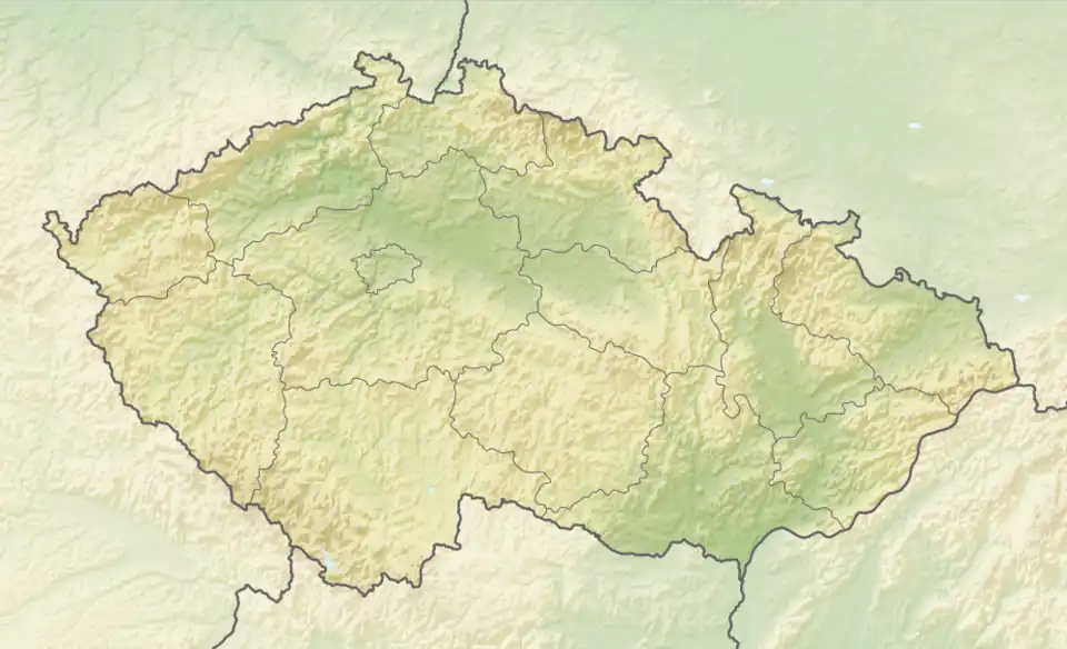 Stehlovice Location in the Czech Republic | |
| Coordinates: 49°23′37″N 14°19′22″E / 49.39361°N 14.32278°E | |
| Country | |
| Region | South Bohemian |
| District | Písek |
| First mentioned | 1306 |
| Area | |
• Total | 4.49 km2 (1.73 sq mi) |
| Elevation | 491 m (1,611 ft) |
| Population (2025-01-01)[1] | |
• Total | 88 |
| • Density | 20/km2 (51/sq mi) |
| Time zone | UTC+1 (CET) |
| • Summer (DST) | UTC+2 (CEST) |
| Postal code | 398 43 |
| Website | www |
Stehlovice is a municipality and village in Písek District in the South Bohemian Region of the Czech Republic. It has about 90 inhabitants.
Etymology
The name is derived from the personal name Stehle, meaning "the village of Stehle's people".[2]
Geography
Stehlovice is located about 15 kilometres (9 mi) northeast of Písek and 46 km (29 mi) north of České Budějovice. It lies in the Tábor Uplands. The highest point is the hill Mladšiny at 535 metres (1,755 ft) above sea level.
History
The first written mention of Stehlovice is from 1306, when the village was owned by the monastery in Milevsko. From 1431, it was a property of the Rosenberg family. In 1575, when it was owned by the royal chamber, Emperor Maximilian II sold the Milevsko estate with Stehlovice to Kryštof of Švamberk. He annexed Stehlovice to the Orlík estate and the village remained part of it until the establishment of an independent municipality in 1848.[3]
Demographics
|
|
| ||||||||||||||||||||||||||||||||||||||||||||||||||||||
| Source: Censuses[4][5] | ||||||||||||||||||||||||||||||||||||||||||||||||||||||||
Transport
Stehlovice is located on the railway line Písek–Tábor.[6]
Sights
The main landmark of Stehlovice is the Chapel of Saint John of Nepomuk. It was built at the beginning of the 19th century and is decorated with folk Baroque elements. In front of the chapel is a cast iron cross from 1865.[7]
References
- ^ "Population of Municipalities – 1 January 2025". Czech Statistical Office. 2025-05-16.
- ^ Profous, Antonín (1957). Místní jména v Čechách IV: S–Ž (in Czech). p. 167.
- ^ "Historie obce" (in Czech). Obec Stehlovice. Retrieved 2025-07-23.
- ^ "Historický lexikon obcí České republiky 1869–2011" (in Czech). Czech Statistical Office. 2015-12-21.
- ^ "Population Census 2021: Population by sex". Public Database. Czech Statistical Office. 2021-03-27.
- ^ "Detail stanice Stehlovice" (in Czech). České dráhy. Retrieved 2025-07-23.
- ^ "Kaple sv. Jana Nepomuckého a kříž" (in Czech). National Heritage Institute. Retrieved 2025-07-23.