Sue Bierman Park
| Sue Bierman Park | |
|---|---|
| Ferry Park | |
 Sue Bierman Park with Ferry Building | |
   | |
| Type | Urban park |
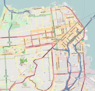
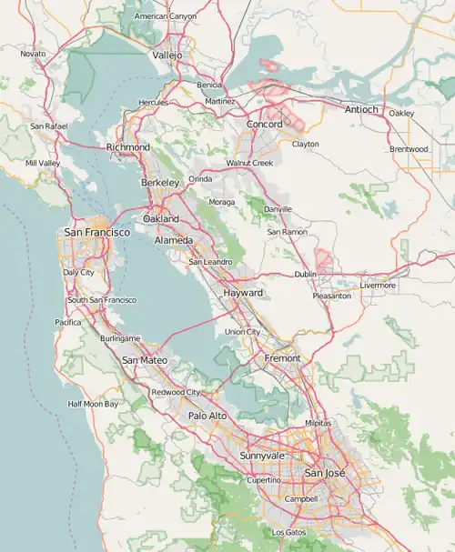
| Location | San Francisco, California |
| Coordinates | 37°47′45″N 122°23′48″W / 37.795939°N 122.396592°W |
| Area | 5.3 acres (2.1 ha; 0.0083 sq mi; 0.021 km2) |
| Created | 2007 |
| Owned by | San Francisco Recreation & Parks Department |
| Operated by | San Francisco Recreation & Parks Department |
| Open | All year |
| Parking | Street parking |
| Public transit access | BART and Muni, Embarcadero station |
Sue Bierman Park, previously known as Ferry Park, is a 5.3-acre (2.1 ha) park in San Francisco, California in the Financial District, in the U.S. state of California.[1][2] The park is named after Sue Bierman, a San Francisco civic activist and San Francisco Supervisor.[3] The park is owned and operated by the San Francisco Recreation & Parks Department.[4]
The park replaced the off-ramps of the Embarcadero Freeway following the freeway's demolition in 1991, prompted by damage from the 1989 Loma Prieta earthquake. In 2007, the park was renamed from Ferry Park to Sue Bierman Park.

Sue Bierman Park is bordered by Washington Street on the north, The Embarcadero on the east, a combination of Embarcadero Plaza and Clay Street on the south, and Davis Street on the west. Drumm Street cuts through the center of the park.[1]
References
- ^ a b Sue Bierman Park HRR (Historic Resources Review). San Francisco Recreation & Parks Department. 2025-04-28.
- ^ "SUE BIERMAN PARK". ROMA. Retrieved 2025-07-29.
- ^ King, John (October 15, 2011). "S.F.'s redo of Sue Bierman Park wastes opportunity". SFGate. Retrieved 2016-12-31.
- ^ "Sue Bierman Park". San Francisco Recreation and Parks, CA. Archived from the original on 2025-07-08. Retrieved 2025-07-29.