Surab, Pakistan
Surab
سوراب | |
|---|---|
Town | |
 Surab 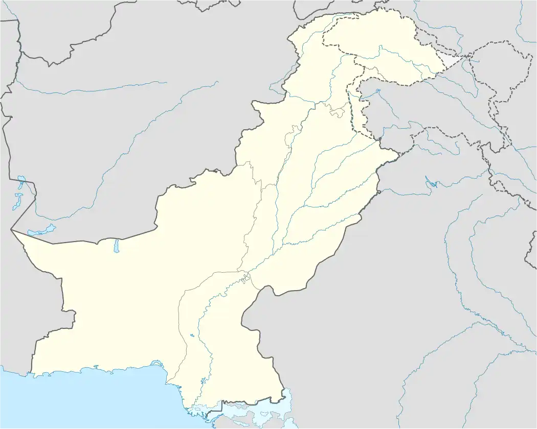 Surab | |
| Coordinates: 28°29′33″N 66°15′35″E / 28.49250°N 66.25972°E | |
| Country | |
| Province | |
| Division | Kalat |
| District | Surab |
| Area | |
• Total | ... km2 (0 sq mi) |
| Elevation | 1,771 m (5,810 ft) |
| Population (2023)[1] | |
• Total | 36,468 |
| Time zone | UTC+5 (PST) |
| Calling code | 0844 |
Surab (Balochi, and Urdu: سوراب) is a town in central Balochistan, Pakistan with a population of 36,468. It serves as the administrative centre of Surab Tehsil and Surab District, which was established on 1 August 2017 following its separation from Kalat District.[1][2] The town is located in a valley of the Central Brahui Range at the junction of the N-25 and N-85 national highways.
On 30 May 2025, Surab was attacked by militants of the Balochistan Liberation Army, resulting in the killing of a local government official, the burning of his residence, the looting of a bank, and assaults on other key sites.[3]
Demographics
| Year | Pop. | ±% p.a. |
|---|---|---|
| 1998 | 11,148 | — |
| 2017 | 35,594 | +6.30% |
| 2023 | 36,468 | +0.41% |
| Source: [4] | ||
As of the 2023 census, Surab has population of 36,468.[1]
See also
References
- ^ a b c "Table 1: Area, Population by Sex, Sex Ratio, Population Density, Urban Population, Household Size and Annual Growth Rate, Balochistan" (PDF). pbs.gov.pk. Pakistan Bureau of Statistics, Census. 2023. Retrieved 6 August 2025.
- ^ "Tehsils and Unions in the District of Kalat". National Reconstruction Bureau, Government of Pakistan website. Archived from the original on 26 March 2012. Retrieved 5 July 2023.
- ^ "One dead after insurgents briefly seize control of a city in southwest Pakistan and loot a bank". AP News. 31 May 2025. Retrieved 31 May 2025.
- ^ "AREA & POPULATION OF ADMINISTRATIVE UNITS BY RURAL/URBAN: 1951-1998 CENSUSES" (PDF). Pakistan Bureau of Statistics. Retrieved 14 May 2018.