Svojek
Svojek | |
|---|---|
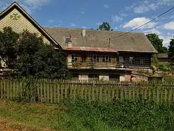 A homestead in Svojek | |
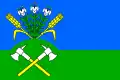 Flag 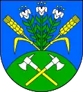 Coat of arms | |
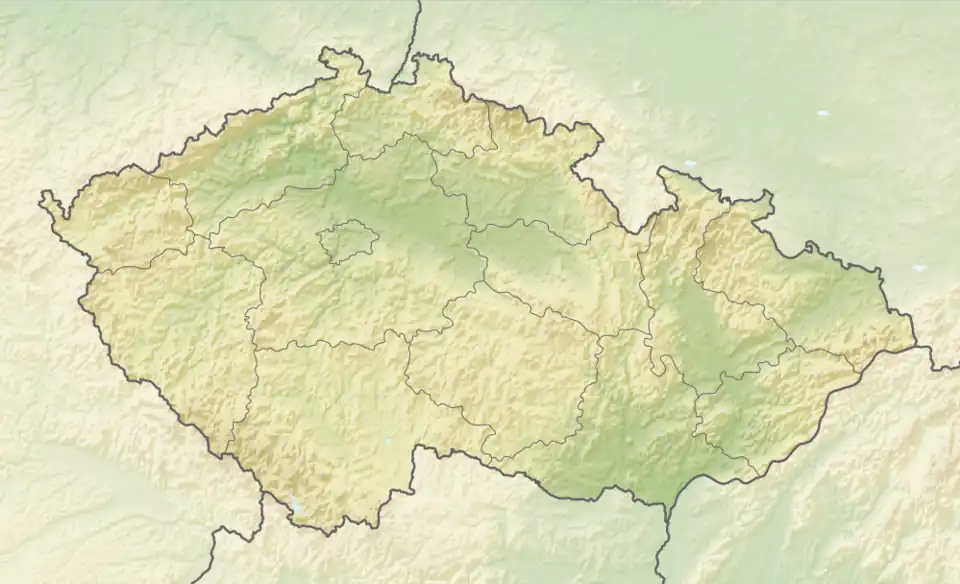 Svojek Location in the Czech Republic | |
| Coordinates: 50°33′12″N 15°27′20″E / 50.55333°N 15.45556°E | |
| Country | |
| Region | Liberec |
| District | Semily |
| First mentioned | 1401 |
| Area | |
• Total | 5.38 km2 (2.08 sq mi) |
| Elevation | 427 m (1,401 ft) |
| Population (2025-01-01)[1] | |
• Total | 182 |
| • Density | 34/km2 (88/sq mi) |
| Time zone | UTC+1 (CET) |
| • Summer (DST) | UTC+2 (CEST) |
| Postal code | 507 91 |
| Website | www |
Svojek is a municipality and village in Semily District in the Liberec Region of the Czech Republic. It has about 200 inhabitants.
Administrative division
Svojek consists of two municipal parts (in brackets population according to the 2021 census):[2]
- Svojek (99)
- Tample (62)
Demographics
| Year | Pop. | ±% |
|---|---|---|
| 1869 | 887 | — |
| 1880 | 872 | −1.7% |
| 1890 | 812 | −6.9% |
| 1900 | 861 | +6.0% |
| 1910 | 773 | −10.2% |
| 1921 | 644 | −16.7% |
| 1930 | 617 | −4.2% |
| 1950 | 361 | −41.5% |
| 1961 | 320 | −11.4% |
| 1970 | 236 | −26.2% |
| 1980 | 232 | −1.7% |
| 1991 | 191 | −17.7% |
| 2001 | 185 | −3.1% |
| 2011 | 155 | −16.2% |
| 2021 | 161 | +3.9% |
| Source: Censuses[3][4] | ||
References
- ^ "Population of Municipalities – 1 January 2025". Czech Statistical Office. 2025-05-16.
- ^ "Public Census 2021 – basic data". Public Database (in Czech). Czech Statistical Office. 2022.
- ^ "Historický lexikon obcí České republiky 1869–2011" (in Czech). Czech Statistical Office. 2015-12-21.
- ^ "Population Census 2021: Population by sex". Public Database. Czech Statistical Office. 2021-03-27.
External links
Wikimedia Commons has media related to Svojek.