Cram Fire
| Cram Fire | |
|---|---|
| Part of the 2025 Oregon wildfires | |
| Date(s) | July 13, 2025 – Present |
| Location | Madras, Oregon |
| Coordinates | 44°47′48″N 121°56′31″W / 44.79667°N 121.94194°W |
| Statistics | |
| Burned area | 95,736 acres (38,743 ha) |
| Ignition | |
| Cause | Undetermined |
| Map | |
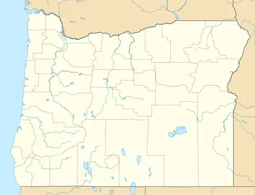 Location in northern Oregon | |
The Cram Fire is a massive wildfire burning near Madras, Oregon that began on July 13, 2025. The fire burned 95,736 acres (38,743 ha).
The cause is currently under investigation.[1]
Events
The Cram Fire was first reported on July 13, 2025, at around 12:55 pm PST.[1] The fire was fully contained on July 27, 2025.[1][2][3]
Impact
Evacuation orders for several very rural areas near the fire were issued.[4][5]
U.S. 97 from mile markers 70 to 76 was closed due to the fire but reopened a few days later on July 15.[4][6]
See also
References
- ^ a b c "Cram Fire Information - InciWeb the Incident Information System". inciweb.wildfire.gov. July 23, 2025. Retrieved July 23, 2025.
- ^ Aljobory, Sana (July 27, 2025). "Cram Fire near Madras fully contained after burning 96,000 acres". KATU. Retrieved July 30, 2025.
- ^ Staff, FOX 12 (July 28, 2025). "Cram Fire near Madras at 100% containment". KPTV. Retrieved July 30, 2025.
{{cite web}}: CS1 maint: numeric names: authors list (link) - ^ a b Beach, Griffin (July 15, 2025). "U.S. 97 reopened near Cram Fire". Elkhorn Media Group. Retrieved July 23, 2025.
- ^ Lerten, Barney (July 22, 2025). "Cram Fire update: More evacuation zones lowered, lifted as containment inches upward to 77%". KTVZ. Retrieved July 23, 2025.
- ^ Urness, Zach. "Cram Fire explodes to 28,000 acres, closes Highway 97 in central Oregon". Statesman Journal. Retrieved July 23, 2025.
External links
| Africa | South Africa (Cape Town) | ||||||
|---|---|---|---|---|---|---|---|
| Asia |
| ||||||
| Europe | |||||||
| North America |
| ||||||
| South America | |||||||
| |||||||